
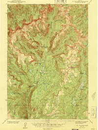
1943 Map of Mt Wallace
USGS Topo · Published 1943About this map
Hellroaring Ranger Station and the Buffalo Fork Ranger Station anchor this high-altitude landscape where the Absaroka National Forest meets the northern boundary of Yellowstone National Park. Surveyed between 1937 and 1940, the map documents a rugged wilderness organized around significant drainages like Hellroaring Creek and the Boulder River. The terrain is characterized by massive basins such as Silver Basin and Clover Basin, alongside prominent summits like Mt Wallace and Iron Mtn.
Find a feature on this map
63 named features on this map. Tap any name to fly to it.
Don’t see what you’re looking for? This feature index may not catch every label — zoom into the map to look around manually.
Map Details
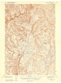
Editions of this 1943 Mt Wallace Map
3 editions found
Other maps of this area

1885 · Gallatin
USGS Topo · 1:125,000

1885 · Gallatin
USGS Topo · 1:125,000

1886 · Canyon
USGS Topo · 1:125,000

1891 · Livingston
USGS Topo · 1:250,000

1893 · Livingston
USGS Topo · 1:250,000

1895 · Canyon
USGS Topo · 1:125,000

1896 · Canyon
USGS Topo · 1:125,000

1901 · Canyon
USGS Topo · 1:125,000

1901 · Gallatin
USGS Topo · 1:125,000

1907 · Canyon
USGS Topo · 1:125,000