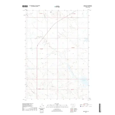
2017 Map of Mud Buttes
USGS Topo · Published 2017About this map
Mud Buttes rises above a landscape defined by an extensive network of drainages and seasonal watercourses in this northern Butte County landscape. The southern portion of the map is dominated by the northern reaches of the Belle Fourche Reservoir, a major hydraulic feature fed by numerous local tributaries including Dry Cr and Wildcat Cr. The topography is etched by the meandering paths of Owl Cr, Bull Cr, and Bitter Cr, which showcase the complex erosional patterns characteristic of the region.
Find a feature on this map
26 named features on this map. Tap any name to fly to it.
Don’t see what you’re looking for? This feature index may not catch every label — zoom into the map to look around manually.
Map Details
Editions of this 2017 Mud Buttes Map
This is the sole edition of this map. No revisions or reprints were ever made.
Other maps of this area

1905 · Saint Onge
USGS Topo · 1:62,500

1905 · Indian
USGS Topo · 1:62,500

1906 · Two Top
USGS Topo · 1:62,500

1907 · Belle Fourche
USGS Topo · 1:125,000

1907 · Redwater
USGS Topo · 1:62,500

1953 · Rapid City
USGS Topo · 1:250,000
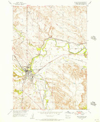
1954 · Belle Fourche
USGS Topo · 1:24,000
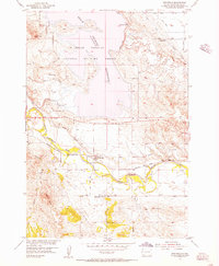
1954 · Fruitdale
USGS Topo · 1:24,000
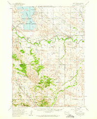
1954 · Saint Onge
USGS Topo · 1:62,500

1957 · Rapid City
USGS Topo · 1:250,000