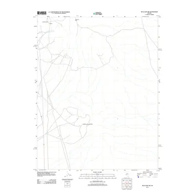
2011 Map of Mud Lake NW
USGS Topo · Published 2011About this map
The settlement of Divide sits at the high point between rising desert peaks in this 2011 survey of central Nevada. The landscape is defined by the geological structures of the Klondyke Hills and the Southern Klondyke Hills, which dominate the central and northern sections of the quadrangle. These arid uplands are punctuated by Gold Mountain, where the topography suggests the historical mining interest that once drew prospectors to this remote corner of Nye County. A single water source, Gold Reef Spring, appears in the northwestern quadrant, providing a rare point of natural hydration in an otherwise stark environment of ridges and wash systems. The map traces a network of unpaved roads and tracks that thread through the hills, indicating the ongoing use of these lands for mineral exploration or rangeland access.
Find a feature on this map
5 named features on this map. Tap any name to fly to it.
Don’t see what you’re looking for? This feature index may not catch every label — zoom into the map to look around manually.
Map Details
Editions of this 2011 Mud Lake NW Map
This is the sole edition of this map. No revisions or reprints were ever made.
Other maps of this area

1907 · Tonopah
USGS Topo · 1:250,000

1908 · Lida
USGS Topo · 1:250,000

1908 · Tonopah
USGS Topo · 1:250,000

1913 · Lida
USGS Topo · 1:250,000

1945 · Goldfield
USGS Topo · 1:125,000

1952 · Mud Lake
USGS Topo · 1:62,500

1954 · Goldfield
USGS Topo · 1:250,000

1955 · Goldfield
USGS Topo · 1:250,000

1956 · Tonopah
USGS Topo · 1:250,000

1958 · Goldfield
USGS Topo · 1:250,000