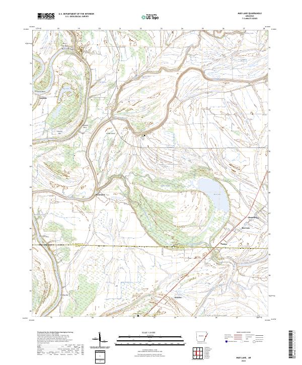
2024 Map of Mud Lake
USGS Topo · Published 2024About this map
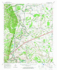
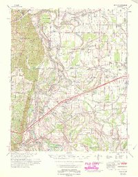
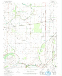
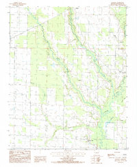
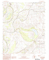
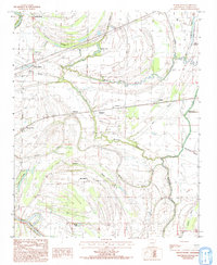
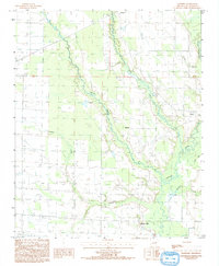
The Saint Francis River winds through this delta landscape, defining a terrain of sharp bends, bars, and seasonal sloughs. Navigational landmarks like Burnt Cane Bend, Horseshoe Bend, and Council Bar illustrate the shifting nature of the river's course. The presence of Cut-Off Ferry and Robinson Ferry indicates a reliance on river crossings to connect small settlements like Lakeside and Rawlinson.
Find a feature on this map
61 named features on this map. Tap any name to fly to it.
Don’t see what you’re looking for? This feature index may not catch every label — zoom into the map to look around manually.
Map Details
Editions of this 2024 Mud Lake Map
This is the sole edition of this map. No revisions or reprints were ever made.
Historical Maps of Winona Through Time
17 maps found
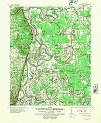
1940 Whitmore
St. Francis County, AR
1956 Whitmore
St. Francis County, AR
1959 Dansby
St. Francis County, AR
1960 Whitmore
St. Francis County, AR
1965 Whitmore
St. Francis County, AR
1975 Edmondson SW
St. Francis County, AR

1975 Horseshoe Lake NW
St. Francis County, AR
1981 Chatfield
St. Francis County, AR
1984 Hawkins
St. Francis County, AR
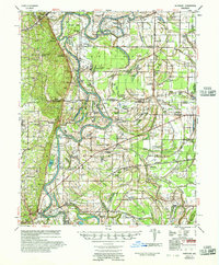
1984 Mud Lake
St. Francis County, AR
1984 Round Pond
St. Francis County, AR
1992 Hawkins
St. Francis County, AR
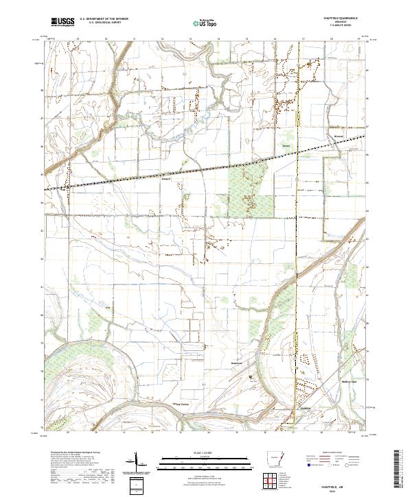
2024 Chatfield
St. Francis County, AR
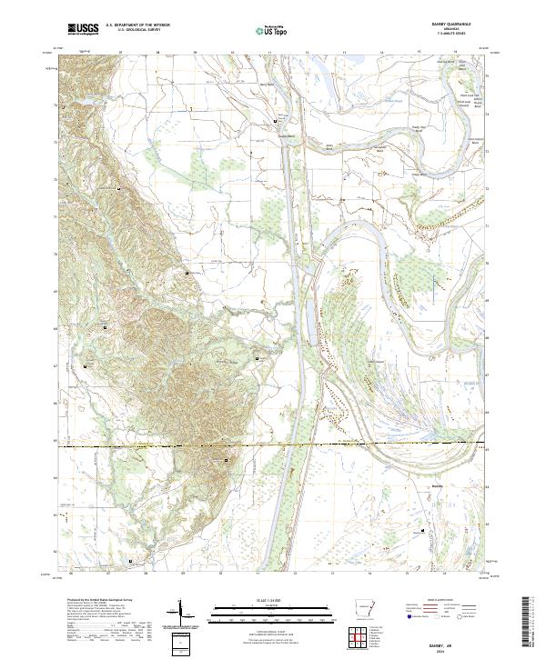
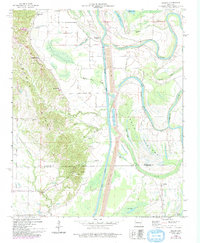
2024 Dansby
St. Francis County, AR
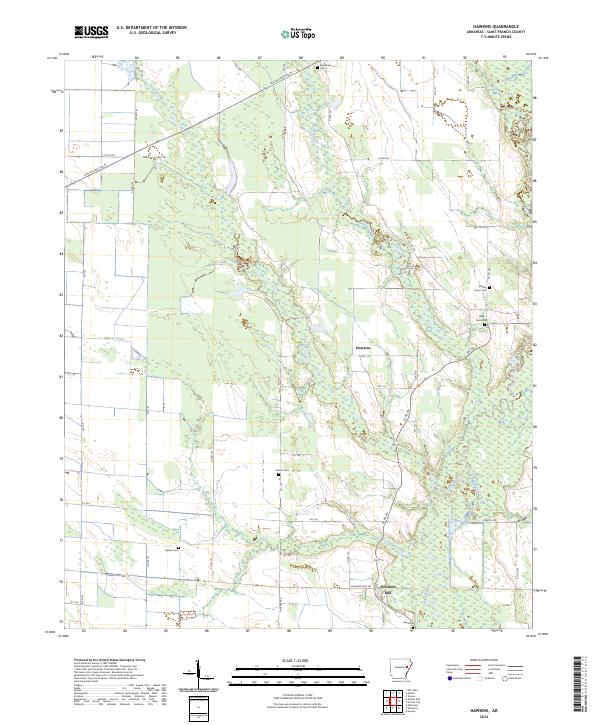
2024 Hawkins
St. Francis County, AR
2024 Mud Lake
St. Francis County, AR
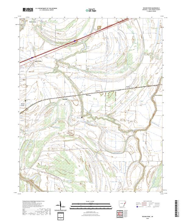
2024 Round Pond
St. Francis County, AR