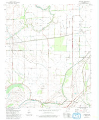
1981 Map of Chatfield
USGS Topo · Published 1993About this map
Fifteenmile Bayou and a complex network of drainage ditches define this low-lying landscape along the boundary of St. Francis and Crittenden counties. In the early 1980s, the area remained a highly engineered agricultural environment, where the natural meanders of Blackfish Bayou and Twentymile Bayou are supplemented by numbered channels like Ditch No 18 and Ditch No 6. Small, scattered communities such as Stump City, Democrat, and the wonderfully named Greasy Corner dot the intersections of the rural road grid.
Find a feature on this map
34 named features on this map. Tap any name to fly to it.
Don’t see what you’re looking for? This feature index may not catch every label — zoom into the map to look around manually.
Map Details
Editions of this 1981 Chatfield Map
2 editions found
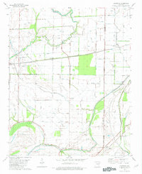
Other maps of this area

1931 · Horseshoe Lake
USGS Topo · 1:62,500

1939 · Horseshoe Lake
USGS Topo · 1:62,500

1939 · Park Place
USGS Topo · 1:62,500

1939 · Edmondson
USGS Topo · 1:62,500

1940 · Whitmore
USGS Topo · 1:62,500

1948 · Helena
USGS Topo · 1:250,000

1950 · Helena
USGS Topo · 1:250,000

1953 · Memphis
USGS Topo · 1:250,000

1954 · Horseshoe Lake
USGS Topo · 1:62,500

1954 · Edmondson
USGS Topo · 1:62,500