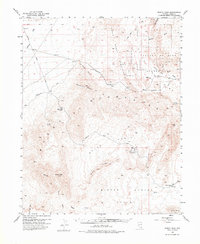
1953 Map of Muddy Peak
USGS Topo · Published 1975About this map
Industrial extraction and desert preservation meet in this mid-century survey of Clark County. The American Borax Co Mines and Colorock Quarry anchor the local economy within the White Basin, while the establishment of Valley of Fire State Park highlights the transition toward recreation. The terrain is defined by the massive Muddy Mountains and Bitter Ridge, separated by arid washes like Callville Wash and Magnesite Wash. Transportation through this desert environment is recorded via the historic Arrowhead Trail and Borax Road. Notable landmarks include the prehistoric context of Atlatl Rock and the geologic formations of the Fire Alcove and Buffington Pockets, providing a clear record of the area before modern regional development intensified.
Find a feature on this map
30 named features on this map. Tap any name to fly to it.
Don’t see what you’re looking for? This feature index may not catch every label — zoom into the map to look around manually.
Map Details
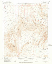
Editions of this 1953 Muddy Peak Map
3 editions found
Other maps of this area

1886 · Saint Thomas
USGS Topo · 1:250,000

1893 · Saint Thomas
USGS Topo · 1:250,000

1926 · Bonelli
USGS Topo · 1:96,000

1926 · Boulder Canyon
USGS Topo · 1:96,000

1952 · Dry Lake
USGS Topo · 1:62,500

1952 · Henderson
USGS Topo · 1:62,500

1953 · Muddy Peak
USGS Topo · 1:62,500

1953 · Overton Beach
USGS Topo · 1:62,500

1953 · Hoover Dam
USGS Topo · 1:62,500

1953 · Virgin Basin
USGS Topo · 1:62,500