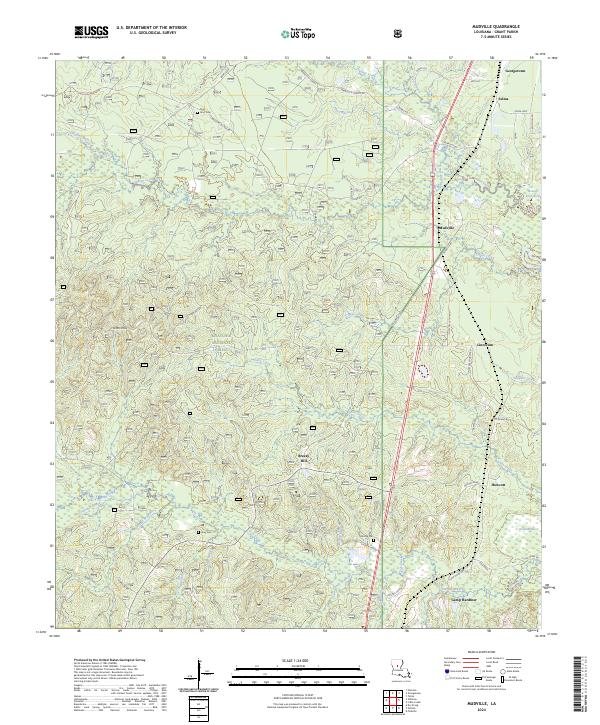
2024 Map of Mudville
USGS Topo · Published 2024About this map
Kisatchie National Forest dominates the central and southern reaches of this Grant Parish landscape, where the wooded terrain of Johns Hills is dissected by a dense network of waterways including Little Creek, Indian Creek, and Fish Creek. Small settlements like Mudville, Breezy Hill, and Lincecum are scattered along the eastern transport corridor, connected by local routes like Lincecum Village Rd and Mudville Rd.
Find a feature on this map
60 named features on this map. Tap any name to fly to it.
Don’t see what you’re looking for? This feature index may not catch every label — zoom into the map to look around manually.
Map Details
Editions of this 2024 Mudville Map
This is the sole edition of this map. No revisions or reprints were ever made.
Other maps of this area

1932 · Colfax NE
USGS Topo · 1:31,680

1932 · Colfax SE
USGS Topo · 1:31,680

1936 · Colfax
USGS Topo · 1:62,500

1936 · Pollock
USGS Topo · 1:62,500

1941 · Pollock
USGS Topo · 1:62,500

1950 · Winnfield
USGS Topo · 1:62,500

1951 · Winnfield
USGS Topo · 1:62,500

1953 · Alexandria
USGS Topo · 1:250,000

1954 · Tullos
USGS Topo · 1:62,500

1955 · Alexandria
USGS Topo · 1:250,000