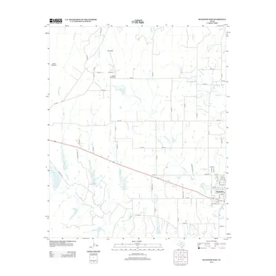
2013 Map of Muenster West
USGS Topo · Published 2013About this map
The settlement of Muenster serves as the focal point for this 2013 survey of Cooke County, Texas. This region is defined by the headwaters and drainage network of the Elm Fork Trinity River, which flows through the southern portion of the quadrangle. North of the city, the landscape is marked by the prominent Devils Backbone ridge and the small settlement of Tyler Bluff. The map illustrates a transitional landscape where the rectilinear county road system, including Co Rd 433 and FM 2382, navigates around meandering watercourses like Brushy Elm Cr and Gibbons Br. This interplay between a rigid agricultural grid and the natural serpentine creek beds provides a detailed view of the rural north Texas geography at the start of the 2010s.
Find a feature on this map
73 named features on this map. Tap any name to fly to it.
Don’t see what you’re looking for? This feature index may not catch every label — zoom into the map to look around manually.
Map Details
Editions of this 2013 Muenster West Map
This is the sole edition of this map. No revisions or reprints were ever made.
Other maps of this area
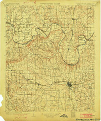
1902 · Gainesville
USGS Topo · 1:125,000
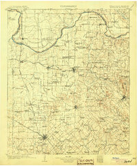
1905 · Montague
USGS Topo · 1:125,000
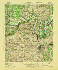
1943 · Gainesville
USGS Topo · 1:125,000
1954 · Sherman
USGS Topo · 1:250,000
1958 · Sherman
USGS Topo · 1:250,000
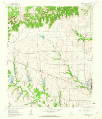
1961 · Muenster West
USGS Topo · 1:24,000
1961 · Saint Jo
USGS Topo · 1:24,000
1961 · Freemound
USGS Topo · 1:24,000
1961 · Hood
USGS Topo · 1:24,000
1961 · Forestburg
USGS Topo · 1:24,000