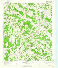
1961 Map of Forestburg
USGS Topo · Published 1963About this map
Forestburg sits as the central hub of this Montague County landscape, serving as a crossroads for a region defined by its prominent hills and complex drainage systems. The terrain is marked by distinctive named rises such as Sugarloaf Mound, Tadlock Hill, and McCracken Mound, which overlook a network of seasonal and perennial waterways including Willawalla Creek and Dye Creek. This 1961 field-checked survey reveals an economy transitioning between traditional agriculture and resource extraction, evidenced by the presence of Gravel Pits and the Mallard Oil Field near Jones Valley.
Find a feature on this map
42 named features on this map. Tap any name to fly to it.
Don’t see what you’re looking for? This feature index may not catch every label — zoom into the map to look around manually.
Map Details
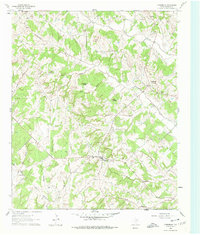
Editions of this 1961 Forestburg Map
2 editions found
Other maps of this area

1902 · Gainesville
USGS Topo · 1:125,000

1905 · Montague
USGS Topo · 1:125,000

1943 · Gainesville
USGS Topo · 1:125,000

1954 · Sherman
USGS Topo · 1:250,000

1958 · Sherman
USGS Topo · 1:250,000

1961 · Muenster West
USGS Topo · 1:24,000

1961 · Saint Jo
USGS Topo · 1:24,000

1961 · Salona
USGS Topo · 1:24,000

1961 · Freemound
USGS Topo · 1:24,000

1961 · New Harp
USGS Topo · 1:24,000