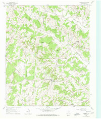
1961 Map of Forestburg
USGS Topo · Published 1978About this map
Forestburg stands at a central crossroads in the cattle and oil country of Montague County, surrounded by a terrain of prominent mounds and winding creek branches. This early 1960s landscape is defined by its family-named landmarks, such as McCracken Mound and Tadlock Hill, which rise above the drainage basins of Willa Walla Creek and the North Bingham Creek. The presence of the Mallard Oil Field in the west indicates the region's mid-century petroleum development, while numerous small Quarries scattered across the hills suggest local stone extraction. For those tracing family history, the map provides precise locations for several rural burial grounds, including the Antioch Cem and the Traylor Cem near the southern boundary. Smaller community nodes like Dye and Hardy are anchored by their respective churches and cemeteries, reflecting a settlement pattern of dispersed rural homesteads connected by a network of unimproved and light-duty roads.
Find a feature on this map
32 named features on this map. Tap any name to fly to it.
Don’t see what you’re looking for? This feature index may not catch every label — zoom into the map to look around manually.
Map Details
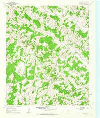
Editions of this 1961 Forestburg Map
2 editions found
Other maps of this area

1902 · Gainesville
USGS Topo · 1:125,000

1905 · Montague
USGS Topo · 1:125,000

1943 · Gainesville
USGS Topo · 1:125,000

1954 · Sherman
USGS Topo · 1:250,000

1958 · Sherman
USGS Topo · 1:250,000

1961 · Muenster West
USGS Topo · 1:24,000

1961 · Saint Jo
USGS Topo · 1:24,000

1961 · Salona
USGS Topo · 1:24,000

1961 · Freemound
USGS Topo · 1:24,000

1961 · New Harp
USGS Topo · 1:24,000