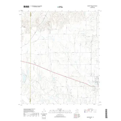
2019 Map of Muenster West
USGS Topo · Published 2019About this map
Muenster and its western rural hinterlands are depicted at the edge of the Montague and Cooke County line. The landscape is defined by the branching tributaries of the Elm Fork Trinity River, which drains the rolling plains and provides a network of creeks including Gibbons Br, Brushy Elm Cr, and Bingham Cr. The terrain is punctuated by the Devils Backbone, a prominent topographical feature rising above the surrounding valleys. Small settlements like Tyler Bluff are connected by a grid of county roads and the primary corridor of Route 82. This map illustrates the transition from the structured street plan of Muenster to the expansive ranching and agricultural lands to the west, showing how the natural drainage of Dry Elm Cr and Squirrel Cr has influenced land use and property boundaries in this part of North Texas.
Find a feature on this map
65 named features on this map. Tap any name to fly to it.
Don’t see what you’re looking for? This feature index may not catch every label — zoom into the map to look around manually.
Map Details
Editions of this 2019 Muenster West Map
This is the sole edition of this map. No revisions or reprints were ever made.
Other maps of this area
1902 · Gainesville
USGS Topo · 1:125,000
1905 · Montague
USGS Topo · 1:125,000
1943 · Gainesville
USGS Topo · 1:125,000
1954 · Sherman
USGS Topo · 1:250,000
1958 · Sherman
USGS Topo · 1:250,000
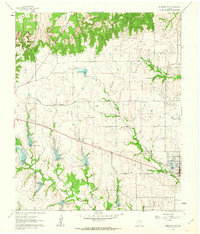
1961 · Muenster West
USGS Topo · 1:24,000
1961 · Saint Jo
USGS Topo · 1:24,000
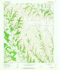
1961 · Freemound
USGS Topo · 1:24,000
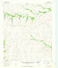
1961 · Hood
USGS Topo · 1:24,000
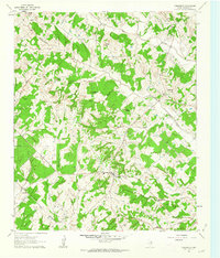
1961 · Forestburg
USGS Topo · 1:24,000