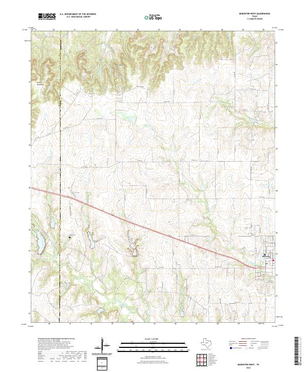
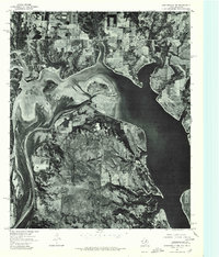
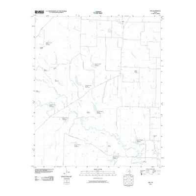
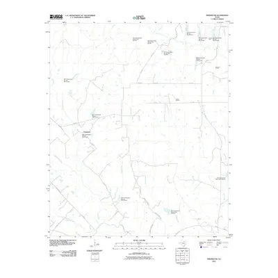
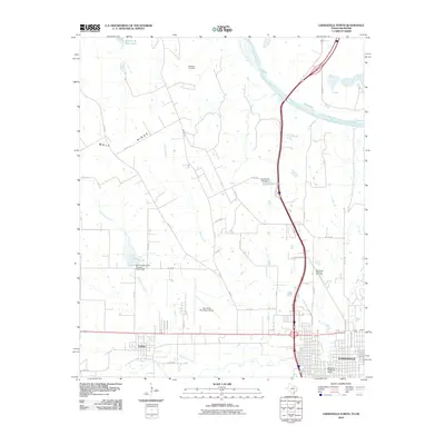
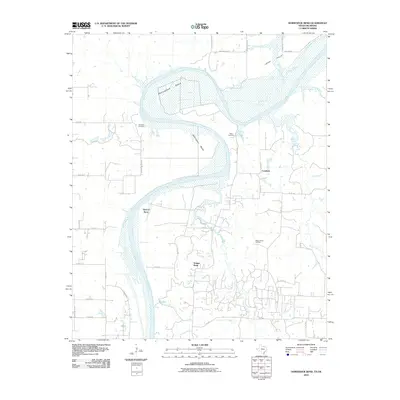
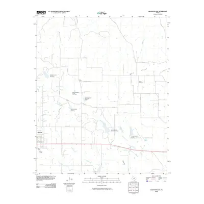
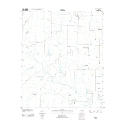
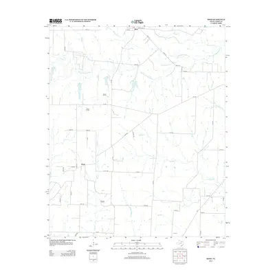
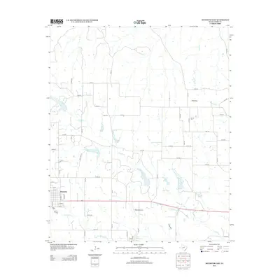
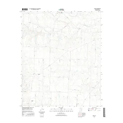
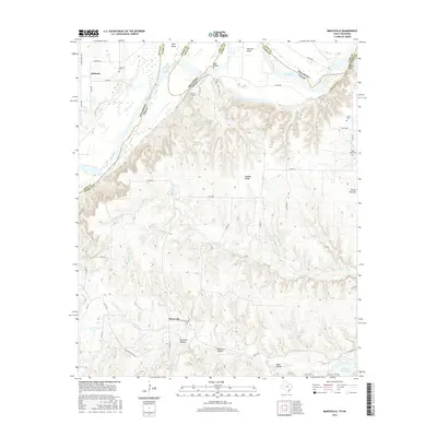
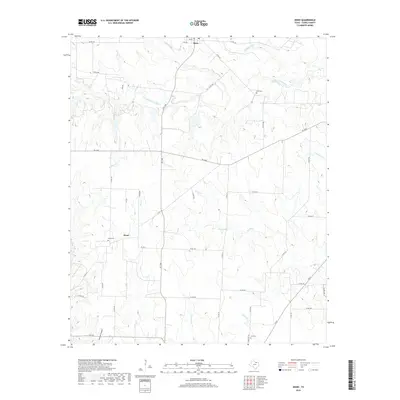
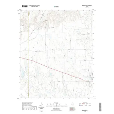
2022 Map of Muenster West
USGS Topo · Published 2022About this map
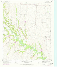
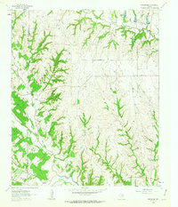
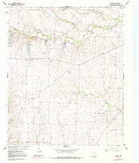
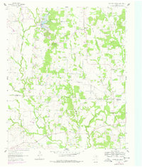
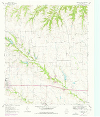
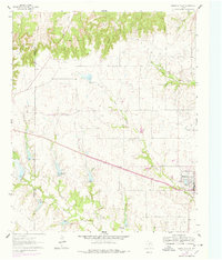
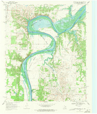
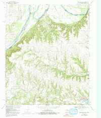
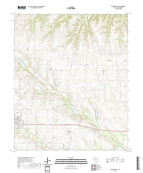
The Elm Fork Trinity River flows through this North Texas landscape, defining the topography between the western edge of Muenster and the rugged elevation of the Devils Backbone. This 2022 survey captures the western rural expansion of the area, where the terrain is heavily dissected by numerous watercourses including Brushy Elm Cr, Gibbons Br, and Dry Elm Cr. The network of county roads reflects a traditional land-use pattern of ranching and agriculture, with large parcels such as those accessed by Powell Ranch Ln.
Find a feature on this map
63 named features on this map. Tap any name to fly to it.
Don’t see what you’re looking for? This feature index may not catch every label — zoom into the map to look around manually.
Map Details
Editions of this 2022 Muenster West Map
This is the sole edition of this map. No revisions or reprints were ever made.
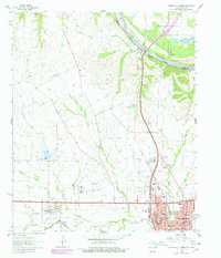
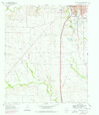
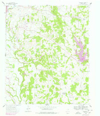
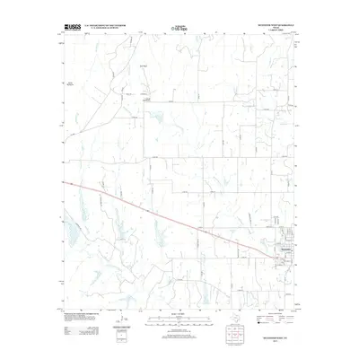
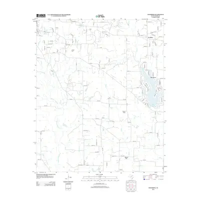
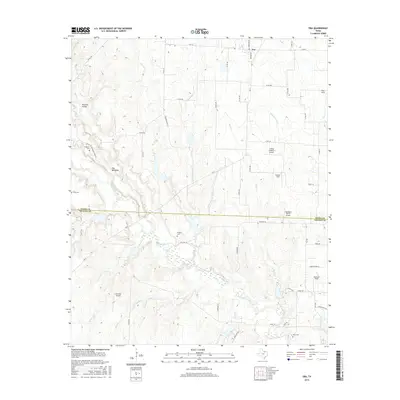
Historical Maps of Muenster Through Time
67 maps found
1960 Gainesville North
Cooke County, TX
1960 Gainesville South
Cooke County, TX
1960 Woodbine
Cooke County, TX
1961 Era
Cooke County, TX
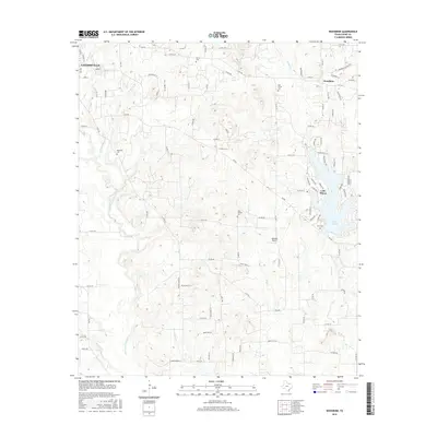
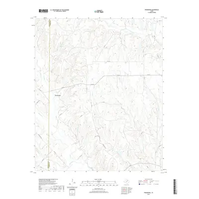
1961 Freemound
Cooke County, TX
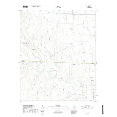
1961 Hood
Cooke County, TX
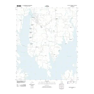
1961 Mountain Springs
Cooke County, TX
1961 Muenster East
Cooke County, TX
1961 Muenster West
Cooke County, TX
1968 Horseshoe Bend
Cooke County, TX
1968 Marysville
Cooke County, TX
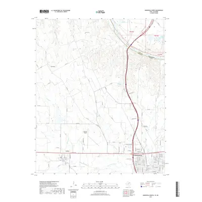
1976 Gordonville NW
Cooke County, TX
2010 Era
Cooke County, TX
2010 Freemound
Cooke County, TX
2010 Gainesville North
Cooke County, TX
2010 Gainesville South
Cooke County, TX
2010 Hood
Cooke County, TX
2010 Horseshoe Bend
Cooke County, TX
2010 Marysville
Cooke County, TX
2010 Mountain Springs
Cooke County, TX
2010 Muenster East
Cooke County, TX
2010 Muenster West
Cooke County, TX
2010 Woodbine
Cooke County, TX
2013 Era
Cooke County, TX
2013 Freemound
Cooke County, TX
2013 Gainesville North
Cooke County, TX
2013 Gainesville South
Cooke County, TX
2013 Hood
Cooke County, TX
2013 Horseshoe Bend
Cooke County, TX
2013 Marysville
Cooke County, TX
2013 Mountain Springs
Cooke County, TX
2013 Muenster East
Cooke County, TX
2013 Muenster West
Cooke County, TX
2013 Woodbine
Cooke County, TX
2016 Era
Cooke County, TX
2016 Freemound
Cooke County, TX
2016 Gainesville North
Cooke County, TX
2016 Gainesville South
Cooke County, TX
2016 Hood
Cooke County, TX

2016 Horseshoe Bend
Cooke County, TX
2016 Marysville
Cooke County, TX
2016 Mountain Springs
Cooke County, TX
2016 Muenster East
Cooke County, TX
2016 Muenster West
Cooke County, TX
2016 Woodbine
Cooke County, TX
2019 Era
Cooke County, TX
2019 Freemound
Cooke County, TX
2019 Gainesville North
Cooke County, TX
2019 Gainesville South
Cooke County, TX
2019 Hood
Cooke County, TX
2019 Horseshoe Bend
Cooke County, TX
2019 Marysville
Cooke County, TX
2019 Mountain Springs
Cooke County, TX
2019 Muenster East
Cooke County, TX
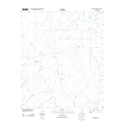
2019 Muenster West
Cooke County, TX
2019 Woodbine
Cooke County, TX
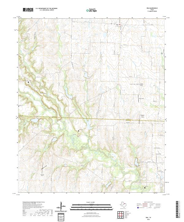
2022 Era
Cooke County, TX
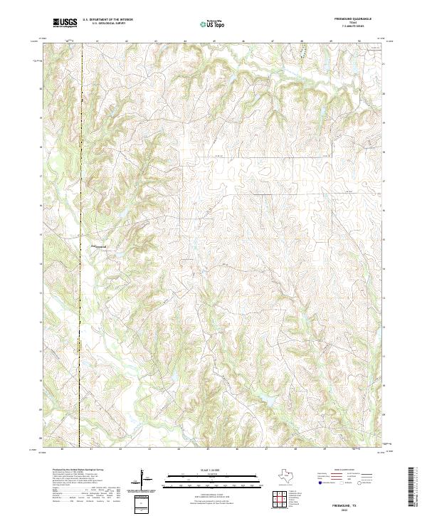
2022 Freemound
Cooke County, TX
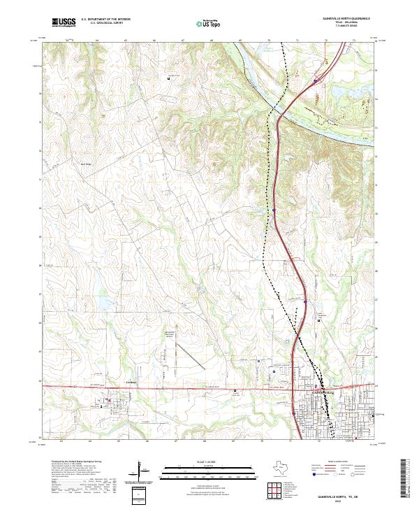
2022 Gainesville North
Cooke County, TX
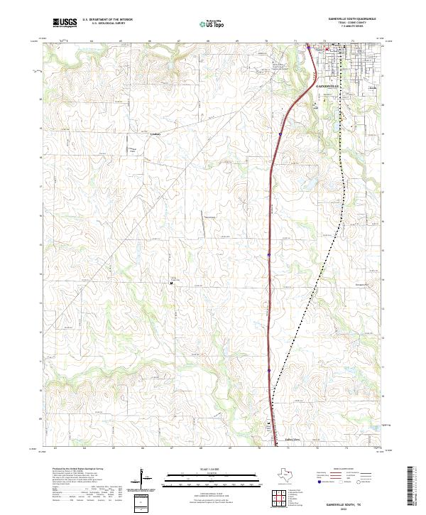
2022 Gainesville South
Cooke County, TX
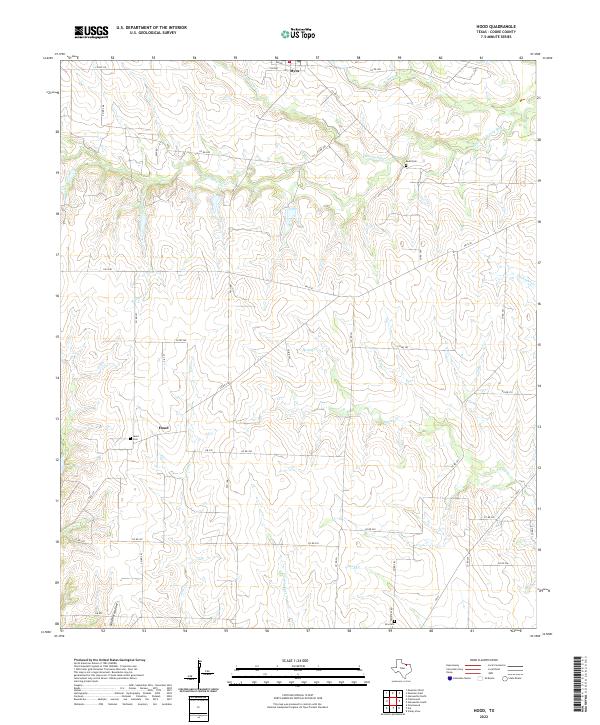
2022 Hood
Cooke County, TX
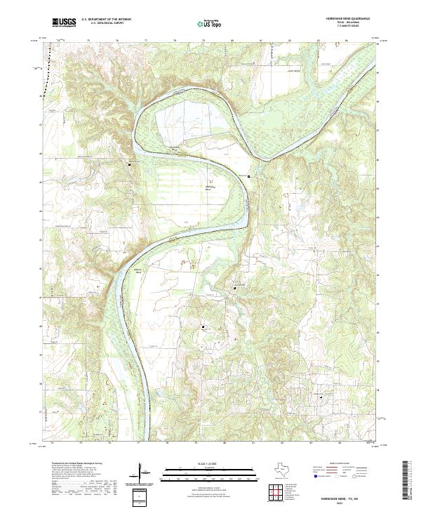
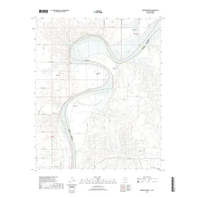
2022 Horseshoe Bend
Cooke County, TX
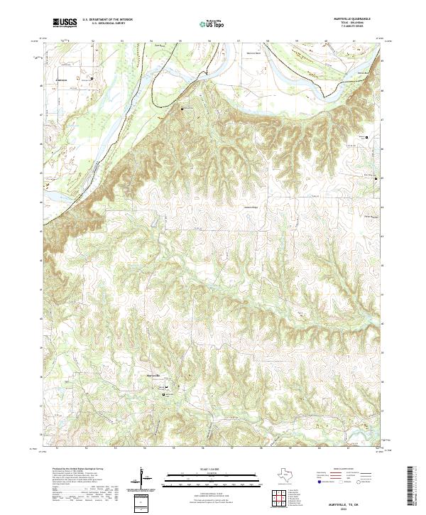
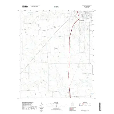
2022 Marysville
Cooke County, TX
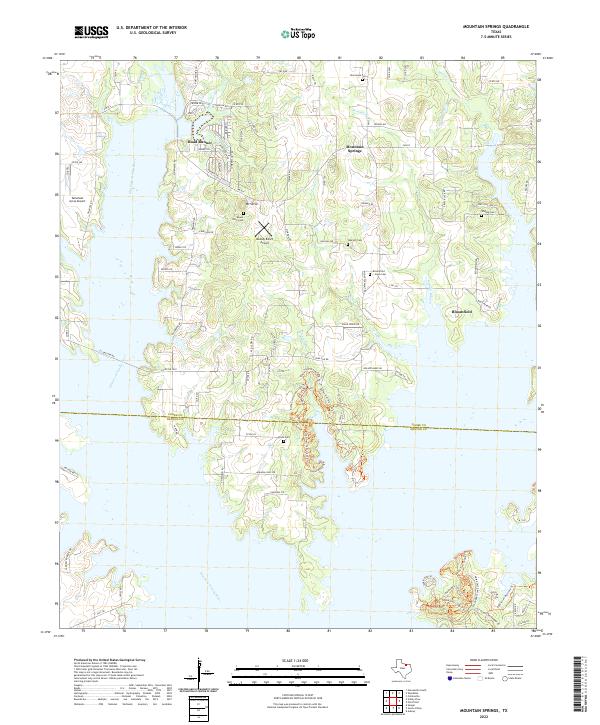
2022 Mountain Springs
Cooke County, TX
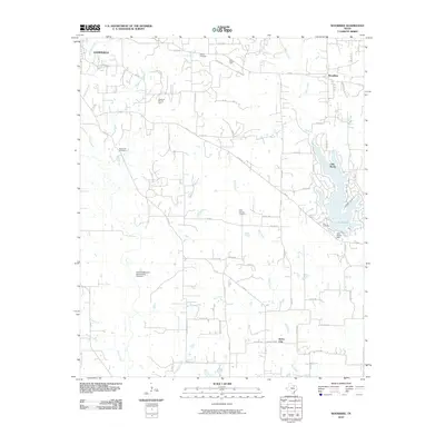
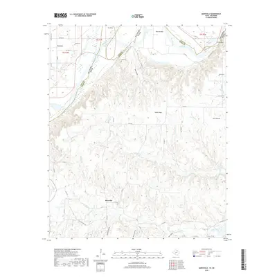
2022 Muenster East
Cooke County, TX
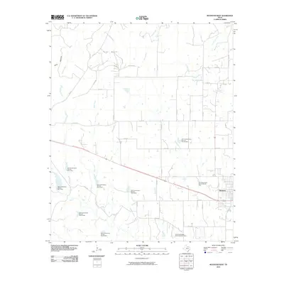
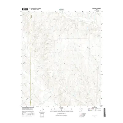
2022 Muenster West
Cooke County, TX
2022 Woodbine
Cooke County, TX