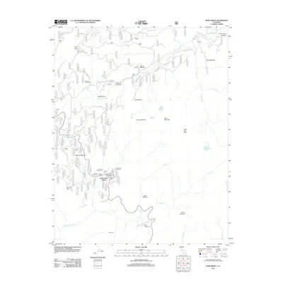
2012 Map of Muir Grove
USGS Topo · Published 2012About this map
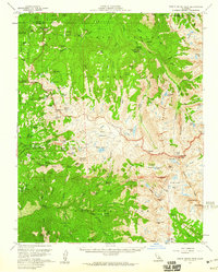
Stony Creek Village serves as a central point of human settlement in this high-altitude landscape, situated near a cluster of recreational sites including Fir Camp Campground and the Stony Creek Picnic Area. The terrain is defined by a series of high meadows and distinct rocky summits, such as Buck Rock and Chimney Rock, which rise above the surrounding forest and drainage basins. A complex network of Forest Service routes, including Forest Rte 14S02 and Forest Rte 14S11, provides access to these elevations and the scattered water sources like Weaver Lake and Jennie Lake.
Find a feature on this map
51 named features on this map. Tap any name to fly to it.
Don’t see what you’re looking for? This feature index may not catch every label — zoom into the map to look around manually.
Map Details
Editions of this 2012 Muir Grove Map
This is the sole edition of this map. No revisions or reprints were ever made.
Other maps of this area
1903 · Tehipite
USGS Topo · 1:125,000
1905 · Tehipite
USGS Topo · 1:125,000

1948 · Fresno
USGS Topo · 1:250,000
1952 · Tehipite Dome
USGS Topo · 1:62,500
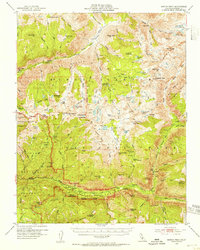
1953 · Marion Peak
USGS Topo · 1:62,500
1955 · Fresno
USGS Topo · 1:250,000
1956 · Fresno
USGS Topo · 1:250,000
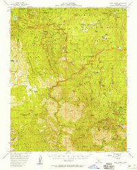
1956 · Giant Forest
USGS Topo · 1:62,500
1956 · Triple Divide Peak
USGS Topo · 1:62,500
1958 · Fresno
USGS Topo · 1:250,000