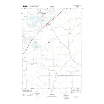
2010 Map of Mukwonago
USGS Topo · Published 2010About this map
Mukwonago serves as the focal point of this 2010 topographic study, situated where the Mukwonago River flows into the lake system. The landscape is defined by its substantial water bodies, including Phantom Lake, Lower Phantom Lake, and Lake Beulah. A notable landmark of local utility and history is the Mukwonago Dam, which regulates the flow through the village center.
Find a feature on this map
54 named features on this map. Tap any name to fly to it.
Don’t see what you’re looking for? This feature index may not catch every label — zoom into the map to look around manually.
Map Details
Editions of this 2010 Mukwonago Map
This is the sole edition of this map. No revisions or reprints were ever made.
Other maps of this area

1891 · Muskego
USGS Topo · 1:62,500

1892 · Eagle
USGS Topo · 1:62,500

1893 · Silver Lake
USGS Topo · 1:62,500

1893 · Geneva
USGS Topo · 1:62,500

1894 · Eagle
USGS Topo · 1:62,500

1897 · Eagle
USGS Topo · 1:62,500

1901 · Muskego
USGS Topo · 1:62,500

1904 · Lake Geneva
USGS Topo · 1:62,500

1906 · Eagle
USGS Topo · 1:62,500

1906 · Silver Lake
USGS Topo · 1:62,500