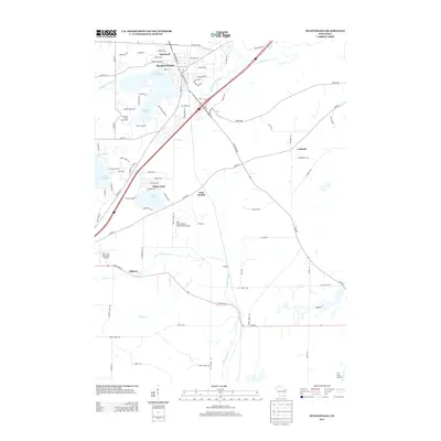
2013 Map of Mukwonago
USGS Topo · Published 2013About this map
The Mukwonago River and Fox River converge near the heart of Mukwonago, shaping a landscape defined by its glacial lakes and transition from village center to rural aviation hubs. This 2013 survey illustrates the dense residential clusters around Lower Phantom Lake and the northern shores of Lake Beulah, contrasted with the smaller outlying settlements of Caldwell and Hilburn. The map highlights a unique concentration of private and public aviation facilities, including Air Troy Estates and the East Troy Municipal Airport, which flank the southern marshlands. Local recreation and community landmarks are prominent, from the Phantom Ranch Boys Camp on the shores of Phantom Lake to the scattered developments of Oak Knoll and the residential community at Potter Lake.
Find a feature on this map
92 named features on this map. Tap any name to fly to it.
Don’t see what you’re looking for? This feature index may not catch every label — zoom into the map to look around manually.
Map Details
Editions of this 2013 Mukwonago Map
This is the sole edition of this map. No revisions or reprints were ever made.
Other maps of this area

1891 · Muskego
USGS Topo · 1:62,500

1892 · Eagle
USGS Topo · 1:62,500

1893 · Silver Lake
USGS Topo · 1:62,500

1893 · Geneva
USGS Topo · 1:62,500

1894 · Eagle
USGS Topo · 1:62,500

1897 · Eagle
USGS Topo · 1:62,500

1901 · Muskego
USGS Topo · 1:62,500

1904 · Lake Geneva
USGS Topo · 1:62,500

1906 · Eagle
USGS Topo · 1:62,500

1906 · Silver Lake
USGS Topo · 1:62,500