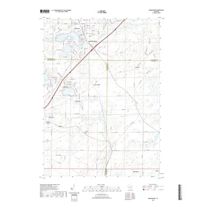
2018 Map of Mukwonago
USGS Topo · Published 2018About this map
The Mukwonago River and Fox River anchor this landscape, where early 21st-century residential patterns meet the established lakes and wetlands of southeastern Wisconsin. The settlement of Mukwonago sits north of Lower Phantom Lake, while the unincorporated community of Caldwell and the village of Rochester mark the eastern and southern reaches of the survey. The density of suburban development is evident around Potter Lake and Oak Knoll, contrasting with the more open acreage near Hilburn.
Find a feature on this map
113 named features on this map. Tap any name to fly to it.
Don’t see what you’re looking for? This feature index may not catch every label — zoom into the map to look around manually.
Map Details
Editions of this 2018 Mukwonago Map
This is the sole edition of this map. No revisions or reprints were ever made.
Other maps of this area

1891 · Muskego
USGS Topo · 1:62,500

1892 · Eagle
USGS Topo · 1:62,500

1893 · Silver Lake
USGS Topo · 1:62,500

1893 · Geneva
USGS Topo · 1:62,500

1894 · Eagle
USGS Topo · 1:62,500

1897 · Eagle
USGS Topo · 1:62,500

1901 · Muskego
USGS Topo · 1:62,500

1904 · Lake Geneva
USGS Topo · 1:62,500

1906 · Eagle
USGS Topo · 1:62,500

1906 · Silver Lake
USGS Topo · 1:62,500