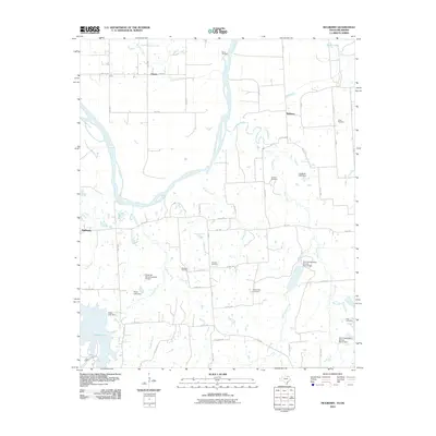
2010 Map of Mulberry
USGS Topo · Published 2010About this map
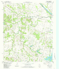
The Red River defines the northern border of this Fannin County landscape, where the small community of Mulberry serves as a central hub for the surrounding agricultural lands. This 2010 survey captures the rural character of the Texas-Oklahoma borderlands, showing a high concentration of burial sites that speak to the long-standing family histories of the area, including Kemp Cemetery, Union Cemetery, and Johnson Cemetery.
Find a feature on this map
62 named features on this map. Tap any name to fly to it.
Don’t see what you’re looking for? This feature index may not catch every label — zoom into the map to look around manually.
Map Details
Editions of this 2010 Mulberry Map
This is the sole edition of this map. No revisions or reprints were ever made.
Other maps of this area

1954 · Sherman
USGS Topo · 1:250,000
1957 · Wade
USGS Topo · 1:62,500
1958 · Durant
USGS Topo · 1:62,500
1958 · Bonham
USGS Topo · 1:62,500
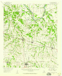
1958 · Whitesright
USGS Topo · 1:62,500

1958 · Sherman
USGS Topo · 1:250,000
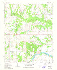
1980 · Kemp
USGS Topo · 1:24,000
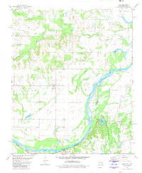
1980 · Yuba
USGS Topo · 1:24,000
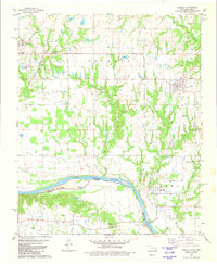
1980 · Achille
USGS Topo · 1:24,000
1984 · Ambrose
USGS Topo · 1:24,000