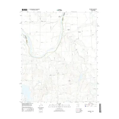
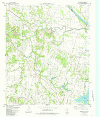
2016 Map of Mulberry
USGS Topo · Published 2016About this map
The Red River carves a winding path through this northern borderland, defining the boundary between Bryan County, Oklahoma, and Fannin County, Texas. This 2016 survey documents a landscape where agricultural patterns and water management dictate the settlement structure. Near the community of Mulberry, the terrain is marked by numerous seasonal drainages and sloughs, including Caney Slough and Choctaw Slough, which speak to the river's historic shifts and flood patterns.
Find a feature on this map
71 named features on this map. Tap any name to fly to it.
Don’t see what you’re looking for? This feature index may not catch every label — zoom into the map to look around manually.
Map Details
Editions of this 2016 Mulberry Map
This is the sole edition of this map. No revisions or reprints were ever made.
Other maps of this area

1954 · Sherman
USGS Topo · 1:250,000

1957 · Wade
USGS Topo · 1:62,500

1958 · Durant
USGS Topo · 1:62,500

1958 · Bonham
USGS Topo · 1:62,500

1958 · Whitesright
USGS Topo · 1:62,500

1958 · Sherman
USGS Topo · 1:250,000
1980 · Kemp
USGS Topo · 1:24,000
1980 · Yuba
USGS Topo · 1:24,000
1980 · Achille
USGS Topo · 1:24,000
1984 · Ambrose
USGS Topo · 1:24,000