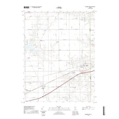
2018 Map of Mulberry Grove
USGS Topo · Published 2018About this map
Mulberry Grove and Smithboro anchor the southeastern portion of this landscape at the intersection of local rail lines and highways. The terrain is defined by the branching tributaries of Hurricane Creek and Beaver Creek, where the land transitions from agricultural plots to the expansive waters of Governor Bond Lake in the west. Small settlements like Woburn and Durley are linked by a network of rural roads such as Woburn Ave and Mahle School Ave.
Find a feature on this map
113 named features on this map. Tap any name to fly to it.
Don’t see what you’re looking for? This feature index may not catch every label — zoom into the map to look around manually.
Map Details
Editions of this 2018 Mulberry Grove Map
This is the sole edition of this map. No revisions or reprints were ever made.
Other maps of this area

1932 · Greenville
USGS Topo · 1:62,500

1939 · Greenville
USGS Topo · 1:62,500

1943 · Greenville
USGS Topo · 1:62,500

1944 · Ramsey
USGS Topo · 1:62,500

1945 · Vandalia
USGS Topo · 1:62,500

1946 · Ramsey
USGS Topo · 1:62,500

1947 · Vandalia
USGS Topo · 1:62,500

1947 · Hillsboro
USGS Topo · 1:62,500

1949 · Hillsboro
USGS Topo · 1:62,500

1958 · Decatur
USGS Topo · 1:250,000