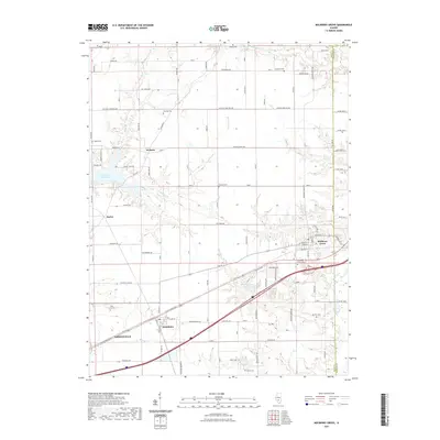
2021 Map of Mulberry Grove
USGS Topo · Published 2021About this map
The transition from the agricultural plains of Bond County into the more dissected drainage basins of the Kaskaskia River watershed is clearly visible in this modern topographic study. The settlement of Mulberry Grove serves as a primary anchor in the east, while the edge of Greenville appears in the southwest. Between these hubs, smaller communities like Smithboro, Woburn, and Durley are connected by a network of rural routes, including the historic E City Route 40.
Find a feature on this map
73 named features on this map. Tap any name to fly to it.
Don’t see what you’re looking for? This feature index may not catch every label — zoom into the map to look around manually.
Map Details
Editions of this 2021 Mulberry Grove Map
This is the sole edition of this map. No revisions or reprints were ever made.
Other maps of this area

1932 · Greenville
USGS Topo · 1:62,500

1939 · Greenville
USGS Topo · 1:62,500

1943 · Greenville
USGS Topo · 1:62,500

1944 · Ramsey
USGS Topo · 1:62,500

1945 · Vandalia
USGS Topo · 1:62,500

1946 · Ramsey
USGS Topo · 1:62,500

1947 · Vandalia
USGS Topo · 1:62,500

1947 · Hillsboro
USGS Topo · 1:62,500

1949 · Hillsboro
USGS Topo · 1:62,500

1958 · Decatur
USGS Topo · 1:250,000