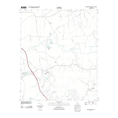
2011 Map of Mulberry Grove
USGS Topo · Published 2011About this map
Mulberry Grove and the surrounding rural landscape in Harris County appear as a network of creeks and small impoundments in this early 21st-century record. The area is defined by the drainage basins of Mulberry Creek and Standing Boy Creek, which are fed by numerous smaller tributaries like Blue Spring Branch and Striblin Creek. Small-scale water management is evident through several named dams, including Nelson Dam and Herds Lake Dam, which have created local features such as Bickerstaff Lake and James Lakes.
Find a feature on this map
64 named features on this map. Tap any name to fly to it.
Don’t see what you’re looking for? This feature index may not catch every label — zoom into the map to look around manually.
Map Details
Editions of this 2011 Mulberry Grove Map
This is the sole edition of this map. No revisions or reprints were ever made.
Other maps of this area

1907 · Talbotton
USGS Topo · 1:125,000

1907 · Opelika
USGS Topo · 1:125,000

1909 · Opelika
USGS Topo · 1:125,000

1949 · Midland
USGS Topo · 1:24,000

1950 · Fortson
USGS Topo · 1:24,000

1950 · Mulberry Grove
USGS Topo · 1:24,000

1950 · Cataula
USGS Topo · 1:24,000

1950 · Ellerslie
USGS Topo · 1:62,500
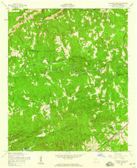
1955 · Mulberry Grove
USGS Topo · 1:24,000
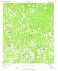
1955 · Cataula
USGS Topo · 1:24,000