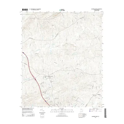
2014 Map of Mulberry Grove
USGS Topo · Published 2014About this map
Mulberry Grove and the neighboring community of Rehobeth anchor this Harris County landscape, defined by a complex network of creeks and small private lakes. The terrain is notably dissected by waterways such as Standing Boy Cr and Mulberry Creek, which drop through elevations marked by the Hudson Mill Rapids. This 2014 survey reveals a mix of rural heritage and modern infrastructure, where local aviation at McLendon Field Airport sits near long-established landmarks like Bingham Chapel Cem. The map is particularly useful for genealogical research, documenting several family and community burial grounds including Blue Springs Cem and Crawford Cem. Road names like Old Black Snake Rd and Macedonia Church Rd suggest the earlier paths and social centers of this Georgia backcountry.
Find a feature on this map
97 named features on this map. Tap any name to fly to it.
Don’t see what you’re looking for? This feature index may not catch every label — zoom into the map to look around manually.
Map Details
Editions of this 2014 Mulberry Grove Map
This is the sole edition of this map. No revisions or reprints were ever made.
Other maps of this area

1907 · Talbotton
USGS Topo · 1:125,000

1907 · Opelika
USGS Topo · 1:125,000

1909 · Opelika
USGS Topo · 1:125,000

1949 · Midland
USGS Topo · 1:24,000

1950 · Fortson
USGS Topo · 1:24,000

1950 · Mulberry Grove
USGS Topo · 1:24,000

1950 · Cataula
USGS Topo · 1:24,000

1950 · Ellerslie
USGS Topo · 1:62,500
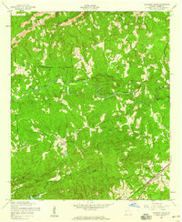
1955 · Mulberry Grove
USGS Topo · 1:24,000
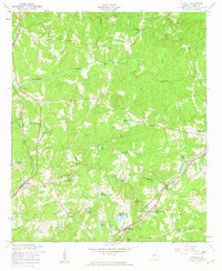
1955 · Cataula
USGS Topo · 1:24,000