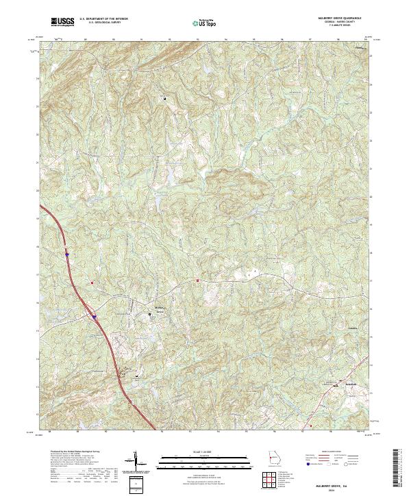
2024 Map of Mulberry Grove
USGS Topo · Published 2024About this map
Mulberry Grove and the surrounding Harris County countryside are defined by a network of creeks and family-named landmarks that trace the rural development of this Georgia landscape. The map centers on the community of Mulberry Grove, where McLendon Field and Bingham Chapel Cem anchor the local history. To the south and east, the settlements of Cataula and Rehobeth sit among a terrain carved by Standing Boy Creek and Striblin Creek.
Find a feature on this map
107 named features on this map. Tap any name to fly to it.
Don’t see what you’re looking for? This feature index may not catch every label — zoom into the map to look around manually.
Map Details
Editions of this 2024 Mulberry Grove Map
This is the sole edition of this map. No revisions or reprints were ever made.
Other maps of this area

1907 · Talbotton
USGS Topo · 1:125,000

1907 · Opelika
USGS Topo · 1:125,000

1909 · Opelika
USGS Topo · 1:125,000

1949 · Midland
USGS Topo · 1:24,000

1950 · Fortson
USGS Topo · 1:24,000

1950 · Mulberry Grove
USGS Topo · 1:24,000

1950 · Cataula
USGS Topo · 1:24,000

1950 · Ellerslie
USGS Topo · 1:62,500
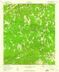
1955 · Mulberry Grove
USGS Topo · 1:24,000
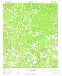
1955 · Cataula
USGS Topo · 1:24,000