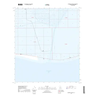
2018 Map of Mulberry Island East
USGS Topo · Published 2018About this map
Mulberry Island and the surrounding marshlands of Vermilion Parish characterize this coastal survey, where the terrestrial landscape is defined by a series of low-lying ridges. These elevated features, including Front Ridge, Beef Ridge, and Bill Ridge, represent critical high ground in an environment dominated by water and wetlands. The map illustrates a complex network of coastal engineering and natural drainage, centered on the Freshwater Bayou Canal and the Dewitt Canal, which cut through the landscape to facilitate navigation and water management. To the south, the terrain terminates at Sand Ridge before opening into the Gulf of Mexico Freshwater Bayou Channel. The infrastructure here, such as the remote highway 3147, demonstrates the human effort to maintain access to this tidal interface, where the Gulf's influence meets the interior freshwater systems.
Find a feature on this map
13 named features on this map. Tap any name to fly to it.
Don’t see what you’re looking for? This feature index may not catch every label — zoom into the map to look around manually.
Map Details
Editions of this 2018 Mulberry Island East Map
This is the sole edition of this map. No revisions or reprints were ever made.
Other maps of this area

1932 · Pecan Island SE
USGS Topo · 1:31,680

1932 · Pecan Island SW
USGS Topo · 1:31,680

1945 · Pecan Island NW
USGS Topo · 1:31,680

1945 · Pecan Island NE
USGS Topo · 1:31,680

1946 · Redfish Point SW
USGS Topo · 1:31,680

1946 · Redfish Point NW
USGS Topo · 1:31,680

1951 · Pecan Island
USGS Topo · 1:62,500

1951 · Cheniere Au Tigre
USGS Topo · 1:62,500
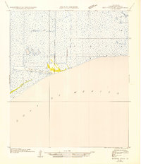
1954 · Redfish Point SW
USGS Topo · 1:31,680
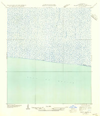
1954 · Pecan Island SW
USGS Topo · 1:31,680