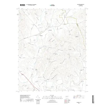
2019 Map of Mulberry
USGS Topo · Published 2019About this map
Mulberry and the surrounding river bottomlands of Lincoln Co and Moore Co appear here in a landscape defined by its network of hollows and ridges. The Elk River flows across the southern portion of the sheet, joined by the Mulberry Creek and its many branches including East Fork Mulberry Creek. This drainage pattern created the fertile valleys that supported long-standing agricultural settlements and river crossings like the Mulberry Bridge, Cowley Bridge, and Dickey Bridge.
Find a feature on this map
121 named features on this map. Tap any name to fly to it.
Don’t see what you’re looking for? This feature index may not catch every label — zoom into the map to look around manually.
Map Details
Editions of this 2019 Mulberry Map
This is the sole edition of this map. No revisions or reprints were ever made.
Other maps of this area

1936 · Booneville
USGS Topo · 1:24,000

1936 · Flintville
USGS Topo · 1:24,000

1936 · Cumberland Springs
USGS Topo · 1:24,000

1936 · Belleville
USGS Topo · 1:24,000

1936 · Lincoln
USGS Topo · 1:24,000

1936 · Huntland
USGS Topo · 1:24,000

1936 · Mulberry
USGS Topo · 1:24,000

1936 · Fayetteville
USGS Topo · 1:24,000

1936 · Lois
USGS Topo · 1:24,000

1941 · Cumberland Springs
USGS Topo · 1:24,000