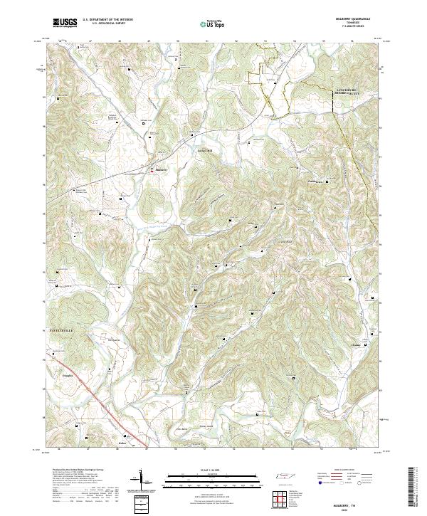
2022 Map of Mulberry
USGS Topo · Published 2022About this map
The Elk River winds through this southern Tennessee landscape, where the confluence of numerous branches creates a dense network of hollows and ridges. Near the center of the sheet, the settlement of Mulberry and the historic Lockes Mill sit surrounded by family-named landmarks that reflect generations of local residency. The terrain is defined by dramatic landforms such as Crystal Ridge and Pitts Bend, while the names of dozens of small family burial grounds, including the Deacon John Whitaker Cem and Moore Family Cem, are meticulously preserved across the hillsides.
Find a feature on this map
118 named features on this map. Tap any name to fly to it.
Don’t see what you’re looking for? This feature index may not catch every label — zoom into the map to look around manually.
Map Details
Editions of this 2022 Mulberry Map
This is the sole edition of this map. No revisions or reprints were ever made.
Other maps of this area

1936 · Booneville
USGS Topo · 1:24,000

1936 · Flintville
USGS Topo · 1:24,000

1936 · Cumberland Springs
USGS Topo · 1:24,000

1936 · Belleville
USGS Topo · 1:24,000

1936 · Lincoln
USGS Topo · 1:24,000

1936 · Huntland
USGS Topo · 1:24,000

1936 · Mulberry
USGS Topo · 1:24,000

1936 · Fayetteville
USGS Topo · 1:24,000

1936 · Lois
USGS Topo · 1:24,000

1941 · Cumberland Springs
USGS Topo · 1:24,000