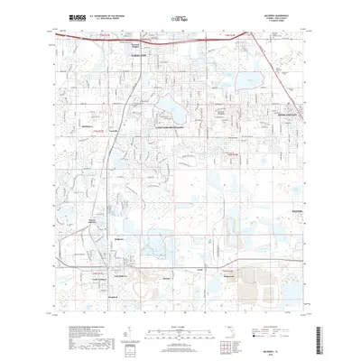
2018 Map of Mulberry
USGS Topo · Published 2018About this map
Lakeland and its surrounding highlands are defined by an intricate network of lake basins and suburban growth south of the main city center. The 2018 landscape shows the modern footprint of settlements like Medulla, Tancrede, and Highland City, where residential expansion meets the distinctive topography of the Florida interior. Numerous small water bodies such as Scott Lake, Banana Lake, and Lake Stahl dot the terrain, reflecting the region's hydrologic character.
Find a feature on this map
81 named features on this map. Tap any name to fly to it.
Don’t see what you’re looking for? This feature index may not catch every label — zoom into the map to look around manually.
Map Details
Editions of this 2018 Mulberry Map
This is the sole edition of this map. No revisions or reprints were ever made.
Other maps of this area

1944 · Plant City
USGS Topo · 1:31,680

1944 · Lakeland
USGS Topo · 1:31,680

1944 · Auburndale
USGS Topo · 1:31,680

1949 · Mulberry
USGS Topo · 1:24,000

1949 · Bartow
USGS Topo · 1:24,000

1949 · Bradley Junction
USGS Topo · 1:24,000

1950 · Mulberry
USGS Topo · 1:24,000

1950 · Bartow
USGS Topo · 1:24,000

1950 · Bradley Junction
USGS Topo · 1:24,000

1952 · Homeland
USGS Topo · 1:24,000