2022 Map of Muldrow
USGS Topo · Published 2022About this map
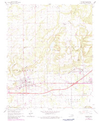
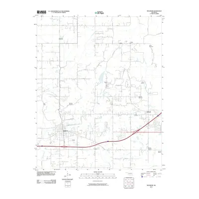
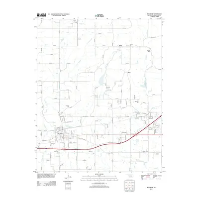
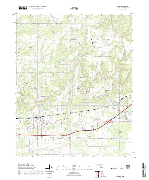
Muldrow and Roland serve as the primary hubs in this corner of Sequoyah County, where the transition from upland ridges to the low-lying Moffett Bottom is marked by a dense network of country roads and family-named landmarks. The landscape is defined by its drainages, including Little Skin Bayou, Garrison Creek, and Camp Creek, which carve through prominent elevations like Mayfield Mtn and Turnham Mtn. This modern survey reveals a deeply rooted rural community, preserved through numerous small cemeteries such as Muldrow Cem, Liberty Cem, and the Shady Grove Baptist Church Cem. Small settlements like Lone Oak, Liberty, and Maple continue to anchor the region, while the eastern edge descends toward the river flats near Moffett, reflecting a geography tied to both the high ridges and the fertile bottoms.
Find a feature on this map
167 named features on this map. Tap any name to fly to it.
Don’t see what you’re looking for? This feature index may not catch every label — zoom into the map to look around manually.
Map Details
Editions of this 2022 Muldrow Map
This is the sole edition of this map. No revisions or reprints were ever made.
Historical Maps of Muldrow Through Time
6 maps found