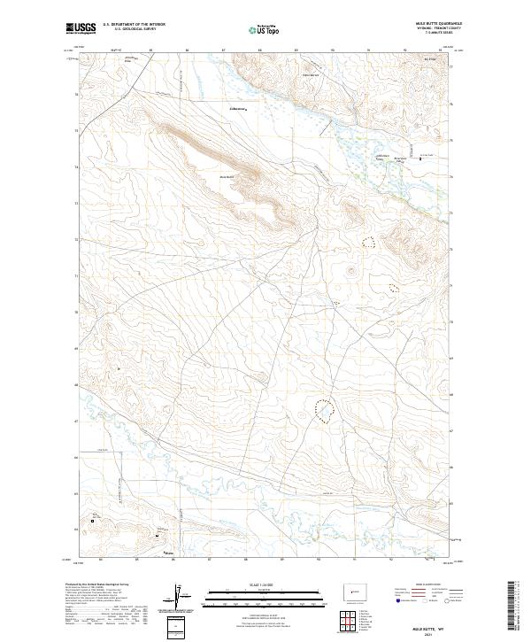
2021 Map of Mule Butte
USGS Topo · Published 2021About this map
The Little Wind River and its complex irrigation network, including the Le Clair Canal and Blackburn Ditch, shape the residential and agricultural layout of this Fremont County landscape. The settlement of Ethete serves as a central hub in the south, while the northern terrain is defined by the Wind River and the prominent rising of Mule Butte. Family and community history is anchored in several burial sites across the township, such as Yellow Calf Cem and Shakespeare Cem near the river, and Le Clair Cem further north. This topographic study reveals how water management via the Johnstown Ditch and Mill Cr Drain supported the development of small communities like Johnstown and the Riverview Valley. The map also details the transition from the river lowlands to high ground features like Edmo Buttes and Big Ridge, with local transport routes like Plunkett Rd and Yellow Calf Cemetery Rd connecting these dispersed landmarks.
Find a feature on this map
31 named features on this map. Tap any name to fly to it.
Don’t see what you’re looking for? This feature index may not catch every label — zoom into the map to look around manually.
Map Details
Editions of this 2021 Mule Butte Map
This is the sole edition of this map. No revisions or reprints were ever made.
Other maps of this area

1950 · Pavillion
USGS Topo · 1:24,000

1950 · Ocean Lake
USGS Topo · 1:24,000

1951 · Mule Butte
USGS Topo · 1:24,000

1951 · Pavillion SE
USGS Topo · 1:24,000

1951 · Morton
USGS Topo · 1:24,000

1951 · Ethete
USGS Topo · 1:24,000

1952 · Hudson
USGS Topo · 1:24,000

1952 · Ray Lake
USGS Topo · 1:24,000

1952 · Lander NW
USGS Topo · 1:24,000

1955 · Thermopolis
USGS Topo · 1:250,000