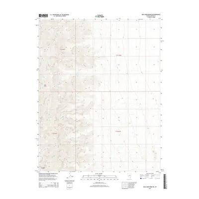
2015 Map of Mule Deer Ridge NE
USGS Topo · Published 2015About this map
The Sheep Range dominates this portion of Lincoln County, characterized by high-elevation terrain and essential water sources in an arid landscape. In this 2015 data, the rugged mountain block is punctuated by Lamb Spring and Sheep Spring, both critical markers for navigation and survival in the high desert. The map illustrates the complex topography of the range, showing the steep ascent from the surrounding desert basins. This sheet provides a clear view of the public land survey system, specifically documenting t11s r61e and t11s r62e, which are vital for property research and land management in this remote Nevada wilderness area.
Find a feature on this map
8 named features on this map. Tap any name to fly to it.
Don’t see what you’re looking for? This feature index may not catch every label — zoom into the map to look around manually.
Map Details
Editions of this 2015 Mule Deer Ridge NE Map
This is the sole edition of this map. No revisions or reprints were ever made.
Other maps of this area

1885 · Pioche
USGS Topo · 1:250,000

1886 · Saint Thomas
USGS Topo · 1:250,000

1886 · Pioche
USGS Topo · 1:250,000

1893 · Saint Thomas
USGS Topo · 1:250,000

1907 · Las Vegas
USGS Topo · 1:250,000

1908 · Las Vegas
USGS Topo · 1:250,000

1945 · Sheep Range
USGS Topo · 1:125,000

1945 · Alamo
USGS Topo · 1:125,000

1954 · Caliente
USGS Topo · 1:250,000

1954 · Las Vegas
USGS Topo · 1:250,000