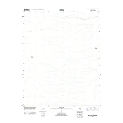
2012 Map of Mule Deer Ridge SE
USGS Topo · Published 2012About this map
The Sheep Range and Elbow Range define the high desert topography of this region in Clark County. As recorded in 2012, the landscape is primarily defined by its hydrology, with critical water sources such as Cherry Spring and Grapevine Spring located along the northern slopes. These springs often served as vital landmarks and survival points in the arid Nevada interior. The presence of Cabin Spring suggests a history of human activity or ranching infrastructure in an otherwise undeveloped area. This map provides a clear view of the mountain contours and natural drainage patterns before further modern environmental shifts, serving as a reliable reference for those studying the geography of the Great Basin's isolated ranges.
Find a feature on this map
5 named features on this map. Tap any name to fly to it.
Don’t see what you’re looking for? This feature index may not catch every label — zoom into the map to look around manually.
Map Details
Editions of this 2012 Mule Deer Ridge SE Map
This is the sole edition of this map. No revisions or reprints were ever made.
Other maps of this area

1886 · Saint Thomas
USGS Topo · 1:250,000

1893 · Saint Thomas
USGS Topo · 1:250,000

1907 · Las Vegas
USGS Topo · 1:250,000

1908 · Las Vegas
USGS Topo · 1:250,000

1945 · Sheep Range
USGS Topo · 1:125,000

1954 · Las Vegas
USGS Topo · 1:250,000

1957 · Las Vegas
USGS Topo · 1:250,000

1958 · Arrow Canyon
USGS Topo · 1:62,500

1959 · Las Vegas
USGS Topo · 1:250,000

1960 · Hayford Peak
USGS Topo · 1:62,500