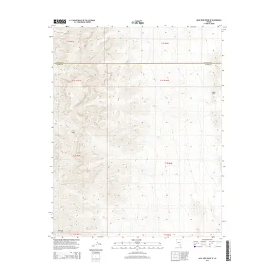
2015 Map of Mule Deer Ridge SE
USGS Topo · Published 2015About this map
The Sheep Range and Elbow Range dominate this section of the Mojave high desert near the junction of Clark and Lincoln counties. This landscape is defined by its verticality and the isolation of its few water sources, which were critical for early navigation and land management in this arid corridor. Small, vital points like Cherry Spring, Cabin Spring, and Grapevine Spring provide the only breaks in the desert terrain. The Public Land Survey System (PLSS) grid, shown through designations like t13s r61e and t13s r62e, reveals the systematic division of these mountain slopes. These labels and the sparse placement of named features highlight the character of this undeveloped wilderness area prior to modern expansion.
Find a feature on this map
14 named features on this map. Tap any name to fly to it.
Don’t see what you’re looking for? This feature index may not catch every label — zoom into the map to look around manually.
Map Details
Editions of this 2015 Mule Deer Ridge SE Map
This is the sole edition of this map. No revisions or reprints were ever made.
Other maps of this area

1886 · Saint Thomas
USGS Topo · 1:250,000

1893 · Saint Thomas
USGS Topo · 1:250,000

1907 · Las Vegas
USGS Topo · 1:250,000

1908 · Las Vegas
USGS Topo · 1:250,000

1945 · Sheep Range
USGS Topo · 1:125,000

1954 · Las Vegas
USGS Topo · 1:250,000

1957 · Las Vegas
USGS Topo · 1:250,000

1958 · Arrow Canyon
USGS Topo · 1:62,500

1959 · Las Vegas
USGS Topo · 1:250,000

1960 · Hayford Peak
USGS Topo · 1:62,500