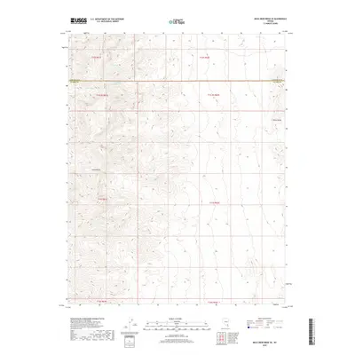
2018 Map of Mule Deer Ridge SE
USGS Topo · Published 2018About this map
The Sheep Range and Elbow Range dominate this high-desert landscape in southern Nevada, where the vertical topography defines the placement of scarce water resources. At the northern boundary of Clark County, the terrain is marked by steep ridges and deep drainages that necessitate the documentation of every reliable water source for travelers and wildlife alike. Key hydrological features like Cherry Spring, Cabin Spring, and Grapevine Spring are vital landmarks in this arid environment, often serving as the only focal points in an otherwise unpopulated expanse of public land. This survey from the U.S. Geological Survey captures the intricate contour detail of the mountain fronts and the precise placement of these springs within the larger desert system.
Find a feature on this map
14 named features on this map. Tap any name to fly to it.
Don’t see what you’re looking for? This feature index may not catch every label — zoom into the map to look around manually.
Map Details
Editions of this 2018 Mule Deer Ridge SE Map
This is the sole edition of this map. No revisions or reprints were ever made.
Other maps of this area

1886 · Saint Thomas
USGS Topo · 1:250,000

1893 · Saint Thomas
USGS Topo · 1:250,000

1907 · Las Vegas
USGS Topo · 1:250,000

1908 · Las Vegas
USGS Topo · 1:250,000

1945 · Sheep Range
USGS Topo · 1:125,000

1954 · Las Vegas
USGS Topo · 1:250,000

1957 · Las Vegas
USGS Topo · 1:250,000

1958 · Arrow Canyon
USGS Topo · 1:62,500

1959 · Las Vegas
USGS Topo · 1:250,000

1960 · Hayford Peak
USGS Topo · 1:62,500