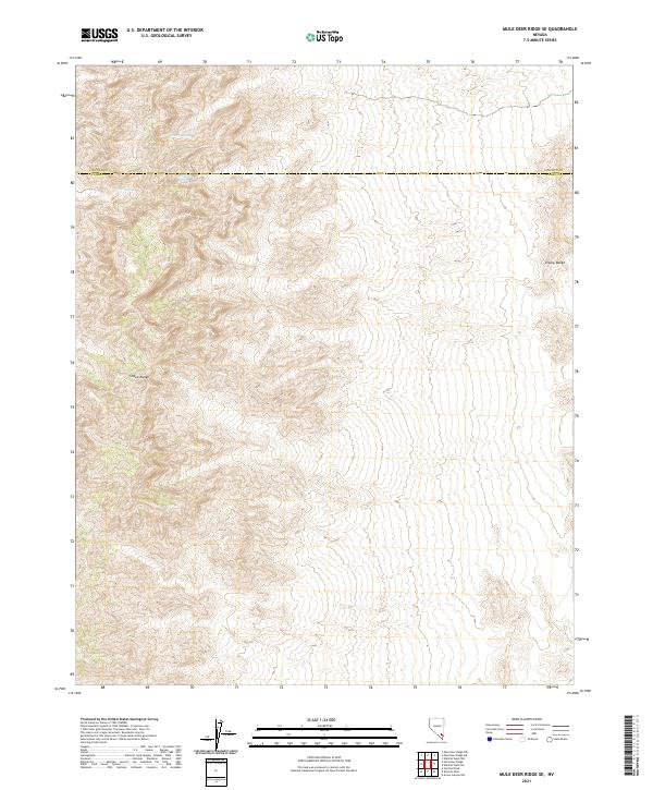
2021 Map of Mule Deer Ridge SE
USGS Topo · Published 2021About this map
The Sheep Range dominates this landscape in southern Nevada, where high-altitude desert terrain meets the boundary between Clark and Lincoln Counties. This survey captures a remote wilderness characterized by sharp elevation changes and vital water sources that have historically supported wildlife and travelers in an arid environment. Named points of interest such as Cherry Spring, Grapevine Spring, and Cabin Spring are localized highlights within the vast mountain complex. To the east, the Elbow Range marks the edge of this high-relief area. The map illustrates the complex township and range divisions, including t13s r61e and t13s r62e, which define the administrative geography of this unpopulated section of the Desert National Wildlife Refuge.
Find a feature on this map
14 named features on this map. Tap any name to fly to it.
Don’t see what you’re looking for? This feature index may not catch every label — zoom into the map to look around manually.
Map Details
Editions of this 2021 Mule Deer Ridge SE Map
This is the sole edition of this map. No revisions or reprints were ever made.
Other maps of this area

1886 · Saint Thomas
USGS Topo · 1:250,000

1893 · Saint Thomas
USGS Topo · 1:250,000

1907 · Las Vegas
USGS Topo · 1:250,000

1908 · Las Vegas
USGS Topo · 1:250,000

1945 · Sheep Range
USGS Topo · 1:125,000

1954 · Las Vegas
USGS Topo · 1:250,000

1957 · Las Vegas
USGS Topo · 1:250,000

1958 · Arrow Canyon
USGS Topo · 1:62,500

1959 · Las Vegas
USGS Topo · 1:250,000

1960 · Hayford Peak
USGS Topo · 1:62,500