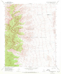
1969 Map of Mule Deer Ridge SE
USGS Topo · Published 1972About this map
The Sheep Range and Elbow Range dominate this high-desert environment, located within the expansive Desert National Wildlife Range. Surveyed in the late 1960s, the map documents a landscape defined by dramatic elevation changes and scarce water sources. Notable hydrologic features such as Cherry Spring, Grapevine Spring, and Cabin Spring appear along the mountain slopes, serving as critical landmarks in an otherwise arid expanse. Evidence of human presence is sparse, marked primarily by a rugged Jeep Trail and several unidentified ruins. The map also illustrates the Lincoln Co Clark Co line, which follows an Indefinite Boundary through the mountainous terrain, highlighting the challenges of early land surveying in this corner of Nevada.
Find a feature on this map
11 named features on this map. Tap any name to fly to it.
Don’t see what you’re looking for? This feature index may not catch every label — zoom into the map to look around manually.
Map Details
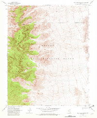
Editions of this 1969 Mule Deer Ridge SE Map
2 editions found
Other maps of this area

1886 · Saint Thomas
USGS Topo · 1:250,000

1893 · Saint Thomas
USGS Topo · 1:250,000

1907 · Las Vegas
USGS Topo · 1:250,000

1908 · Las Vegas
USGS Topo · 1:250,000

1945 · Sheep Range
USGS Topo · 1:125,000

1954 · Las Vegas
USGS Topo · 1:250,000

1957 · Las Vegas
USGS Topo · 1:250,000

1958 · Arrow Canyon
USGS Topo · 1:62,500

1959 · Las Vegas
USGS Topo · 1:250,000

1960 · Hayford Peak
USGS Topo · 1:62,500