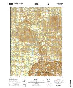
2020 Map of Mule Hill
USGS Topo · Published 2020About this map
Klamath Wild and Scenic River defines the southern reaches of this landscape where the Oregon and California border cuts through the drainage systems of Klamath Co and Siskiyou Co. The terrain is characterized by high-elevation features like Mule Hill and Mud Spring Mtn, with the landscape heavily marked by water management infrastructure including Ward Reservoir, Potter Reservoir, and Camp Four Reservoir. This 2020 record of the Klamath National Forest area reflects a network of forest and ranching access roads such as Mud Spring Rd and Pokegama Rd. Genealogists and local historians can locate Way Cem near the river, while natural features like Long Prairie and Tom Cr illustrate the complex geography of the high plateau region before the river descends toward the California line.
Find a feature on this map
38 named features on this map. Tap any name to fly to it.
Don’t see what you’re looking for? This feature index may not catch every label — zoom into the map to look around manually.
Map Details
Editions of this 2020 Mule Hill Map
This is the sole edition of this map. No revisions or reprints were ever made.
Other maps of this area

1886 · Shasta
USGS Topo · 1:250,000

1891 · Ashland
USGS Topo · 1:250,000

1893 · Ashland
USGS Topo · 1:250,000

1894 · Shasta
USGS Topo · 1:250,000

1897 · Ashland
USGS Topo · 1:250,000

1934 · Macdoel
USGS Topo · 1:96,000

1941 · Macdoel
USGS Topo · 1:125,000

1948 · Weed
USGS Topo · 1:250,000

1950 · Weed
USGS Topo · 1:250,000

1954 · Macdoel
USGS Topo · 1:62,500