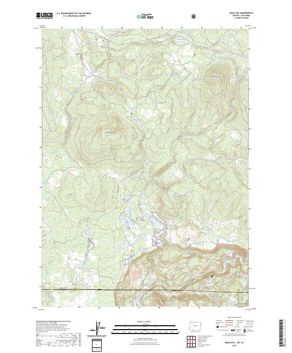
2023 Map of Mule Hill
USGS Topo · Published 2023About this map
Klamath Wild and Scenic River defines the southern boundary of this remote Klamath County landscape, where the water flows through the rugged borderlands of the Oregon California state line. The terrain is a network of ridges and high plateaus, marked by Mule Hill and Mud Spring Mtn, and punctuated by numerous stock and irrigation impoundments including Ward Reservoir, Potter Reservoir, and Griffith Reservoir. For those tracing local genealogy or land use, the Way Cem sits near the river's edge, accessed by the Topsy Grade Rd. A system of timber and ranching access routes like Pokegama Rd and W Branch Rd crisscross the high country of Long Prairie, connecting various springs and seasonal drainages such as Camp Four Creek and Hayden Creek that feed into the larger river basin.
Find a feature on this map
33 named features on this map. Tap any name to fly to it.
Don’t see what you’re looking for? This feature index may not catch every label — zoom into the map to look around manually.
Map Details
Editions of this 2023 Mule Hill Map
This is the sole edition of this map. No revisions or reprints were ever made.
Other maps of this area

1886 · Shasta
USGS Topo · 1:250,000

1891 · Ashland
USGS Topo · 1:250,000

1893 · Ashland
USGS Topo · 1:250,000

1894 · Shasta
USGS Topo · 1:250,000

1897 · Ashland
USGS Topo · 1:250,000

1934 · Macdoel
USGS Topo · 1:96,000

1941 · Macdoel
USGS Topo · 1:125,000

1948 · Weed
USGS Topo · 1:250,000

1950 · Weed
USGS Topo · 1:250,000

1954 · Macdoel
USGS Topo · 1:62,500