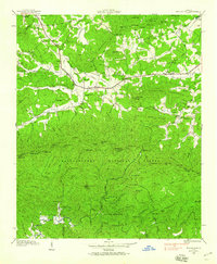
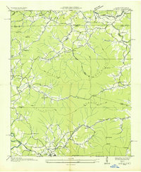
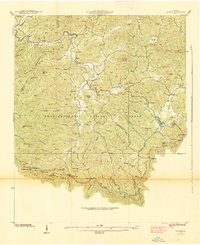
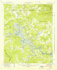
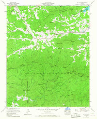
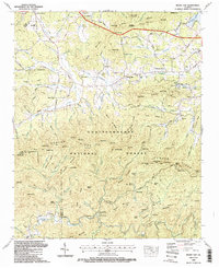
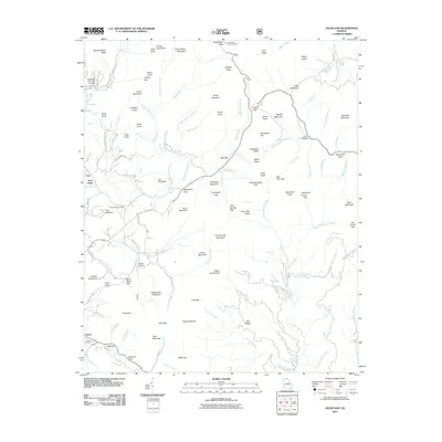
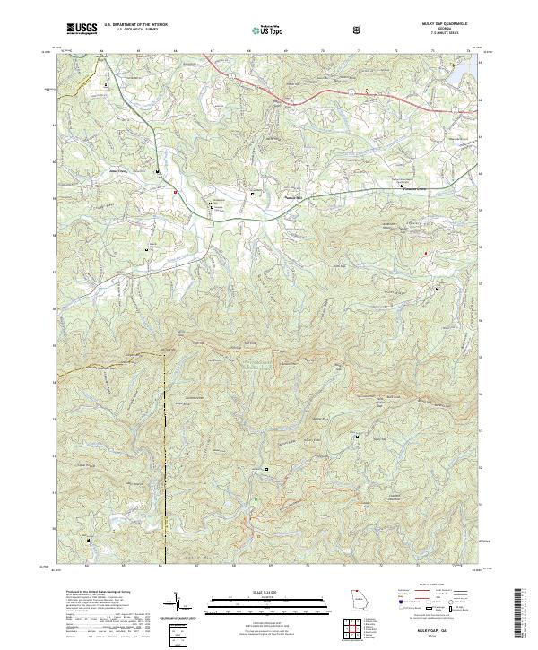
1938 Map of Mulky Gap
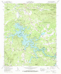
USGS Topo · Published 1990About this map
Youngcane and Rugby anchor this late-1930s landscape in the Blue Ridge foothills, where small agrarian settlements follow the valleys of Youngcane Creek and Watts Creek. The map documents a significant period of federal land management, evidenced by the expansive Chattahoochee National Forest and the operational C C C Camp No F 12 near Cooper Creek. These Civilian Conservation Corps camps were instrumental in developing the region's forestry infrastructure, including the Yoccoa Forest Experiment Station. Local life is recorded through a network of rural institutions like Dillard Chapel, Philadelphia Ch, and several neighborhood schools including Confidence Sch. The terrain is marked by high points like Anderson Mountain and Yellow Mountain, while family history is preserved at the Jones Cem and Harkins Cem situated along the winding creek branches.
Find a feature on this map
108 named features on this map. Tap any name to fly to it.
Don’t see what you’re looking for? This feature index may not catch every label — zoom into the map to look around manually.
Map Details
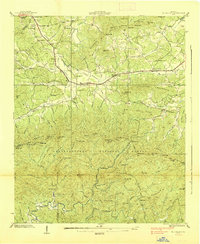
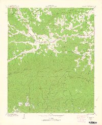
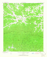
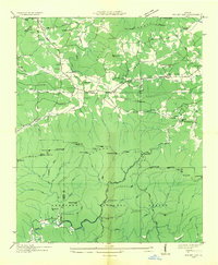
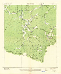
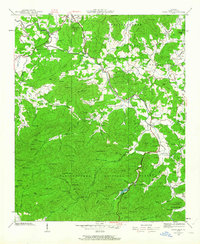
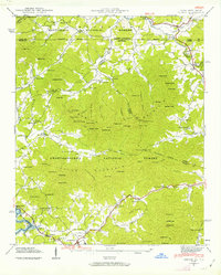
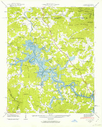
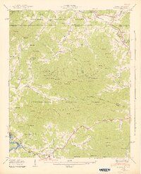
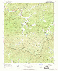
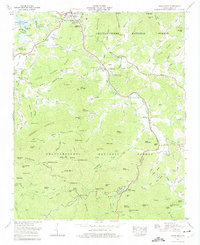
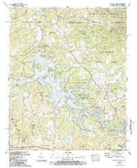
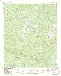
Editions of this 1938 Mulky Gap Map
4 editions found
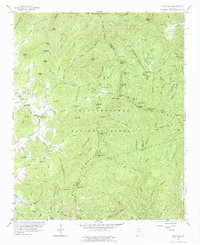
Historical Maps of Jones Creek Through Time
49 maps found

1935 Coosa Bald
Union County, GA
1935 Gumlog
Union County, GA

1935 Ivylog
Union County, GA

1935 Jacks Gap
Union County, GA
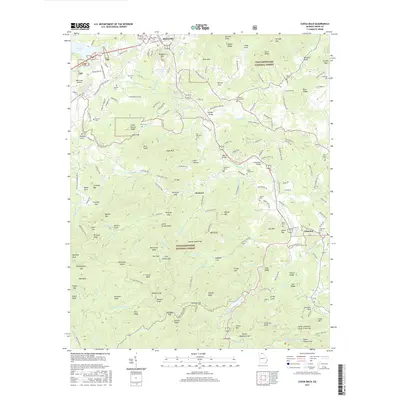
1935 Mulky Gap
Union County, GA
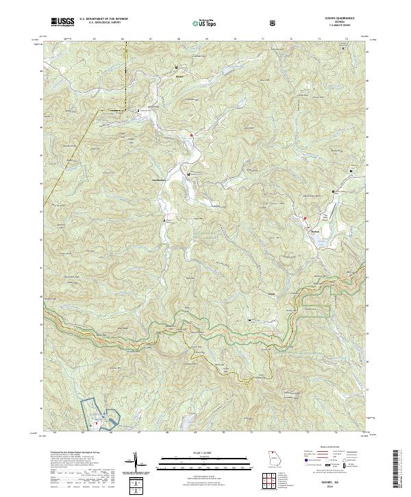
1935 Suches
Union County, GA
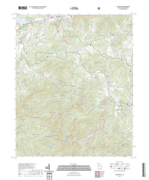
1938 Coosa Bald
Union County, GA

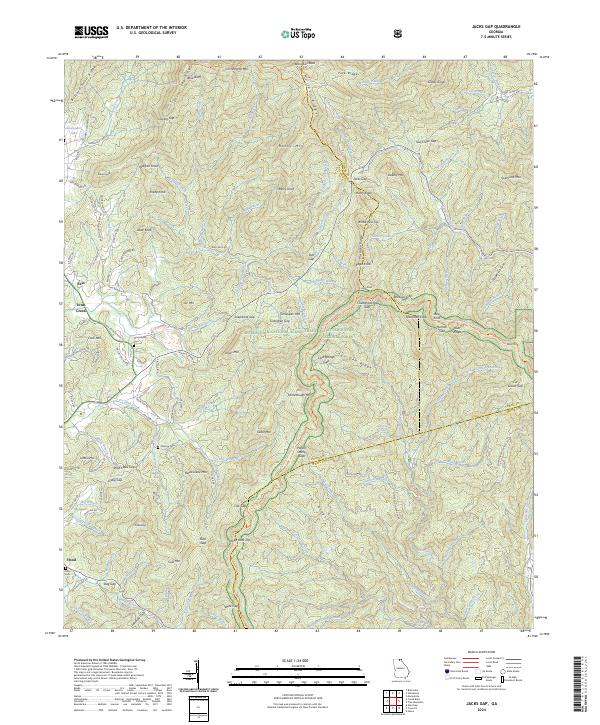
1938 Jacks Gap
Union County, GA
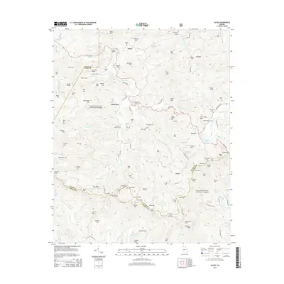
1938 Mulky Gap
Union County, GA
1938 Suches
Union County, GA
1941 Gumlog
Union County, GA
1941 Ivylog
Union County, GA
1942 Gumlog
Union County, GA
1942 Ivylog
Union County, GA
1950 Suches
Union County, GA
1957 Jacks Gap
Union County, GA
1965 Coosa Bald
Union County, GA
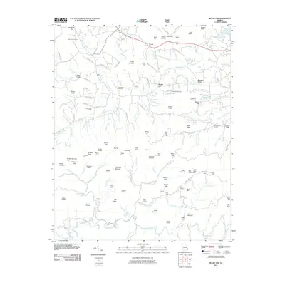
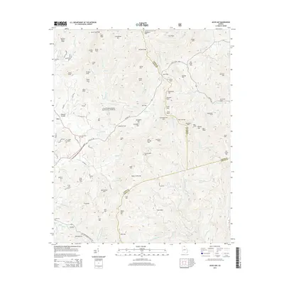
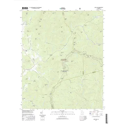
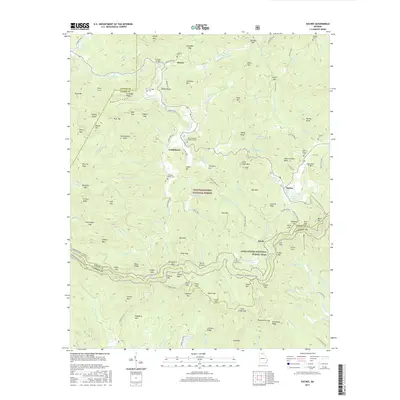
1965 Mulky Gap
Union County, GA
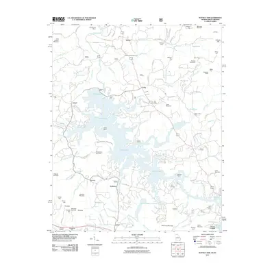
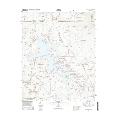
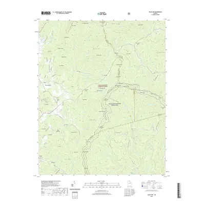
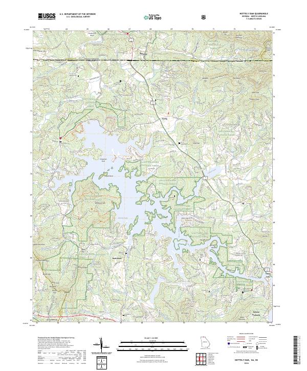
1966 Nottely Dam
Union County, GA
1988 Coosa Bald
Union County, GA
1988 Jacks Gap
Union County, GA
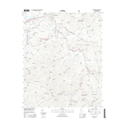
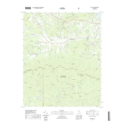
1988 Mulky Gap
Union County, GA
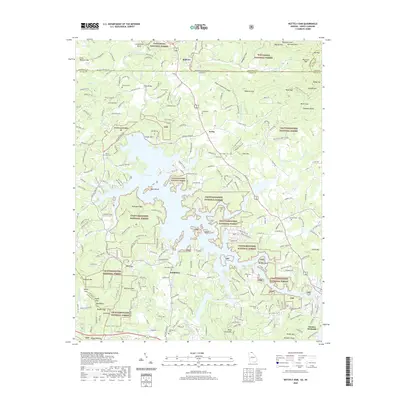
1988 Nottely Dam
Union County, GA
1988 Suches
Union County, GA
2011 Coosa Bald
Union County, GA
2011 Jacks Gap
Union County, GA
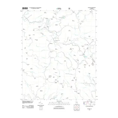
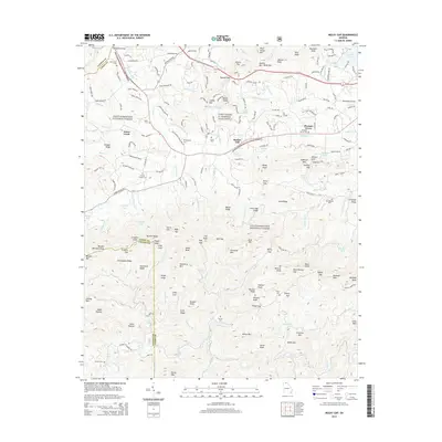
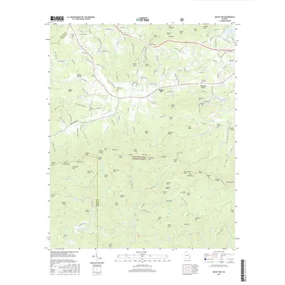
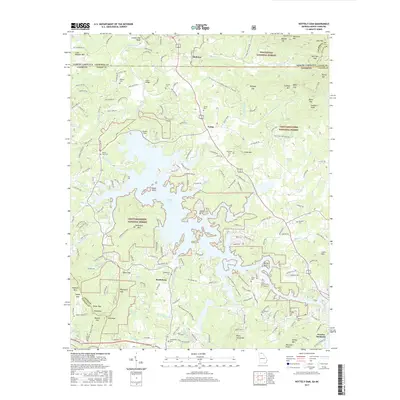
2011 Mulky Gap
Union County, GA
2011 Nottely Dam
Union County, GA
2011 Suches
Union County, GA
2014 Coosa Bald
Union County, GA
2014 Jacks Gap
Union County, GA
2014 Mulky Gap
Union County, GA
2014 Nottely Dam
Union County, GA
2014 Suches
Union County, GA
2017 Coosa Bald
Union County, GA
2017 Jacks Gap
Union County, GA
2017 Mulky Gap
Union County, GA
2017 Nottely Dam
Union County, GA
2017 Suches
Union County, GA
2020 Coosa Bald
Union County, GA
2020 Jacks Gap
Union County, GA
2020 Mulky Gap
Union County, GA
2020 Nottely Dam
Union County, GA
2020 Suches
Union County, GA
2024 Coosa Bald
Union County, GA
2024 Jacks Gap
Union County, GA
2024 Mulky Gap
Union County, GA
2024 Nottely Dam
Union County, GA
2024 Suches
Union County, GA