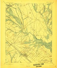
1898 Map of Mullica
USGS Topo · Published 1912About this map
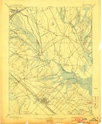
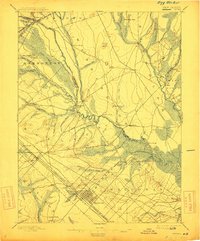
Mullica River and its intricate network of tributaries define this landscape, where the iron-making and glass-production legacy of the Pine Barrens is etched into the terrain. The meeting of the Batsto River and Nescochague Creek anchors the central industrial hub of Batsto and Pleasant Mills, while the Pennsylvania Railroad Atlantic City Division cuts a sharp line across the lower half of the sheet, fueling the growth of Egg Harbor. Along the river’s winding course, settlements like Crowleytown, Herman, and Lower Bank point to the historic importance of water transport and timber. Further north, the landscape opens into Friendship Bogs and the heights of Jemima Mount, illustrating the remote character of Burlington and Atlantic County at the turn of the century.
Find a feature on this map
77 named features on this map. Tap any name to fly to it.
Don’t see what you’re looking for? This feature index may not catch every label — zoom into the map to look around manually.
Map Details
Editions of this 1898 Mullica Map
4 editions found

Other maps of this area

1884 · Whitings
USGS Topo · 1:62,500

1887 · Atlantic City
USGS Topo · 1:62,500

1888 · Pemberton
USGS Topo · 1:62,500

1888 · Little Egg Harbor
USGS Topo · 1:62,500

1888 · Mount Holly
USGS Topo · 1:62,500

1888 · Whitings
USGS Topo · 1:62,500

1890 · Great Egg Harbor
USGS Topo · 1:62,500

1890 · Hammonton
USGS Topo · 1:62,500

1890 · Tuckahoe
USGS Topo · 1:62,500

1890 · Mullica
USGS Topo · 1:62,500