
1898 Map of Mullica
USGS Topo · Published 1898About this map
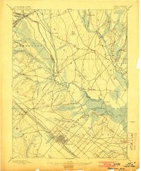
Mullica River and its intricate network of tributaries define the landscape of the New Jersey Pine Barrens during the late nineteenth century. Industrial footprints of the era are visible at Batsto and Pleasant Mills, where water power and local resources supported early iron and paper production. The map captures the transition from river-based commerce to rail, with the Pennsylvania Railroad and Camden & Atlantic R.R. cutting through the southern portion of the quadrangle near Egg Harbor.
Find a feature on this map
77 named features on this map. Tap any name to fly to it.
Don’t see what you’re looking for? This feature index may not catch every label — zoom into the map to look around manually.
Map Details
Editions of this 1898 Mullica Map
4 editions found
Other maps of this area

1884 · Whitings
USGS Topo · 1:62,500

1887 · Atlantic City
USGS Topo · 1:62,500

1888 · Pemberton
USGS Topo · 1:62,500

1888 · Little Egg Harbor
USGS Topo · 1:62,500

1888 · Mount Holly
USGS Topo · 1:62,500

1888 · Whitings
USGS Topo · 1:62,500

1890 · Great Egg Harbor
USGS Topo · 1:62,500

1890 · Hammonton
USGS Topo · 1:62,500

1890 · Tuckahoe
USGS Topo · 1:62,500

1890 · Mullica
USGS Topo · 1:62,500