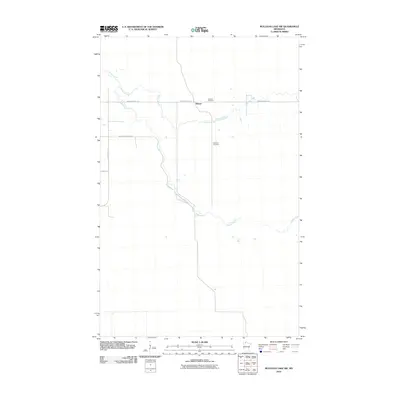
2010 Map of Mulligan Lake SW
USGS Topo · Published 2010About this map
The settlement of Winner and the surrounding marshy lowlands of Roseau County are defined by a network of drainage and forestry roads in this 2010 topographic record. The Roseau River meanders across the landscape, joined by the winding course of Hansen Creek, illustrating the intricate hydrology of this northern Minnesota region. For those researching local history or genealogy, the presence of Elkwood Cemetery near the junction of Winner Forest Rd provides a specific point of reference in an area dominated by woodland management and sparse habitation. Transportation in this corner of the state relies on a grid of specialized routes, including Morehouse Forest Rd and County Hwy-18, which reflect the area's ongoing importance for forestry and rural access.
Find a feature on this map
8 named features on this map. Tap any name to fly to it.
Don’t see what you’re looking for? This feature index may not catch every label — zoom into the map to look around manually.
Map Details
Editions of this 2010 Mulligan Lake SW Map
This is the sole edition of this map. No revisions or reprints were ever made.
Other maps of this area

1918 · Pencer
USGS Topo · 1:62,500

1918 · Malcolm
USGS Topo · 1:62,500

1919 · Liner
USGS Topo · 1:62,500

1954 · Roseau
USGS Topo · 1:250,000

1957 · Roseau
USGS Topo · 1:250,000

1958 · Roseau
USGS Topo · 1:250,000
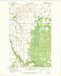
1967 · Wannaska NE
USGS Topo · 1:24,000

1968 · Mulligan Lake SW
USGS Topo · 1:24,000
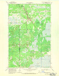
1968 · Mulligan Lake NE
USGS Topo · 1:24,000
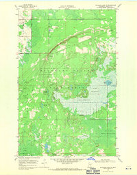
1968 · Mulligan Lake NW
USGS Topo · 1:24,000