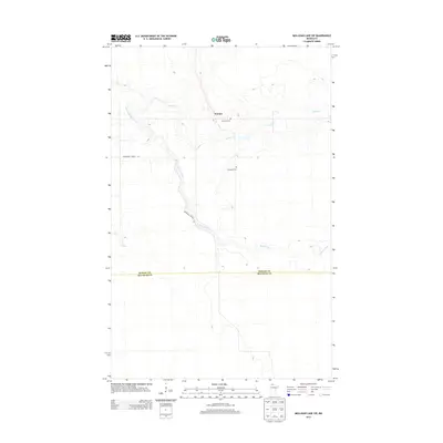
2013 Map of Mulligan Lake SW
USGS Topo · Published 2013About this map
Winner sits at the northern edge of this remote Minnesota landscape, serving as a primary point of reference in an area dominated by wetlands and winding watercourses. The town's historical presence is anchored by Elkwood Cem, which appears in two distinct locations near the settlement, suggesting the deep-rooted community history of this region. The Roseau River meanders diagonally across the quadrangle, joined by the smaller Hansen Cr as they drain the low-lying terrain. The border between Roseau and Beltrami counties bisects the southern half of the map, marking a transition into less developed forest land. Navigation through the marshy interior is primarily facilitated by Morehouse Forest Rd, which provides access to the river valley and the scattered clearings that define this corner of Northern Minnesota.
Find a feature on this map
6 named features on this map. Tap any name to fly to it.
Don’t see what you’re looking for? This feature index may not catch every label — zoom into the map to look around manually.
Map Details
Editions of this 2013 Mulligan Lake SW Map
This is the sole edition of this map. No revisions or reprints were ever made.
Other maps of this area

1918 · Pencer
USGS Topo · 1:62,500

1918 · Malcolm
USGS Topo · 1:62,500

1919 · Liner
USGS Topo · 1:62,500

1954 · Roseau
USGS Topo · 1:250,000

1957 · Roseau
USGS Topo · 1:250,000

1958 · Roseau
USGS Topo · 1:250,000
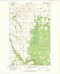
1967 · Wannaska NE
USGS Topo · 1:24,000

1968 · Mulligan Lake SW
USGS Topo · 1:24,000
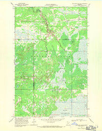
1968 · Mulligan Lake NE
USGS Topo · 1:24,000
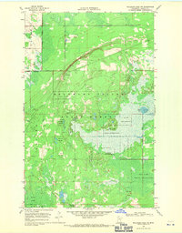
1968 · Mulligan Lake NW
USGS Topo · 1:24,000