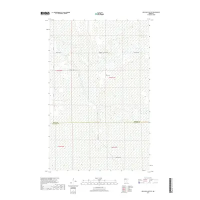
2019 Map of Mulligan Lake SW
USGS Topo · Published 2019About this map
Winner occupies a remote northern landscape at the border of Roseau and Beltrami Counties. This 2019 survey documents a region characterized by extensive wetlands and forest management tracks, with the Roseau River and Hansen Creek providing the primary drainage for the surrounding marshlands. Cultural features are sparse, centered largely on the Elkwood Cemetery and a network of arterial logging and access routes including Winner Forest Rd and Morehouse Forest Rd. The land is divided into a strict grid of townships and ranges, such as t159n r37w, with much of the infrastructure limited to gravel roads like Co Rd 18. This map captures a snapshot of the region's managed wilderness, where the primary human footprint is found in the scattered roads and small, localized landmarks like the cemetery near Winner.
Find a feature on this map
14 named features on this map. Tap any name to fly to it.
Don’t see what you’re looking for? This feature index may not catch every label — zoom into the map to look around manually.
Map Details
Editions of this 2019 Mulligan Lake SW Map
This is the sole edition of this map. No revisions or reprints were ever made.
Other maps of this area

1918 · Pencer
USGS Topo · 1:62,500

1918 · Malcolm
USGS Topo · 1:62,500

1919 · Liner
USGS Topo · 1:62,500

1954 · Roseau
USGS Topo · 1:250,000

1957 · Roseau
USGS Topo · 1:250,000

1958 · Roseau
USGS Topo · 1:250,000
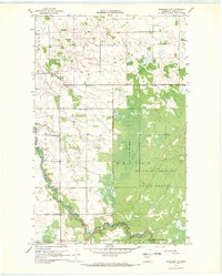
1967 · Wannaska NE
USGS Topo · 1:24,000

1968 · Mulligan Lake SW
USGS Topo · 1:24,000
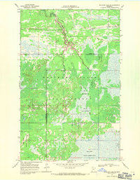
1968 · Mulligan Lake NE
USGS Topo · 1:24,000
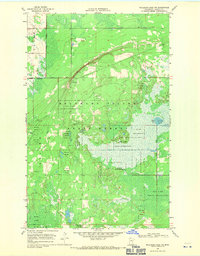
1968 · Mulligan Lake NW
USGS Topo · 1:24,000