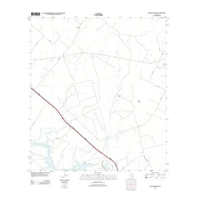
2013 Map of Mulos Hills
USGS Topo · Published 2013About this map
Lake Corpus Christi defines the southern reach of this South Texas landscape, where the Nueces River valley gives way to the rise of the Mulos Hills. The drainage network of La Para Cr and Mustang Cr carves through the terrain, illustrating the hydrologic patterns that influenced early ranching and settlement in Bee County. The small community of La Para sits at the northern edge of the sheet, connected by a web of rural roads and farm-to-market routes like Fm-799. Evidence of modern ranching life is visible at the Mulos Hills Ranch, while the presence of IH-37 Acces shows the influence of modern infrastructure on this traditional Texas cattle country. The map provides a detailed view of property access via numerous county roads, such as Co RD-330 and Co RD-343, which trace the divisions of this rural acreage.
Find a feature on this map
27 named features on this map. Tap any name to fly to it.
Don’t see what you’re looking for? This feature index may not catch every label — zoom into the map to look around manually.
Map Details
Editions of this 2013 Mulos Hills Map
This is the sole edition of this map. No revisions or reprints were ever made.
Other maps of this area

1920 · Mikeska
USGS Topo · 1:125,000

1925 · Oakville No. 4
USGS Topo · 1:48,000

1925 · Mathis No. 2
USGS Topo · 1:48,000

1927 · Mathis
USGS Topo · 1:62,500

1927 · Oakville
USGS Topo · 1:62,500

1953 · Crystal City
USGS Topo · 1:250,000

1953 · Beeville
USGS Topo · 1:250,000

1954 · Fleming
USGS Topo · 1:62,500

1954 · Mathis
USGS Topo · 1:62,500

1955 · Crystal City
USGS Topo · 1:250,000