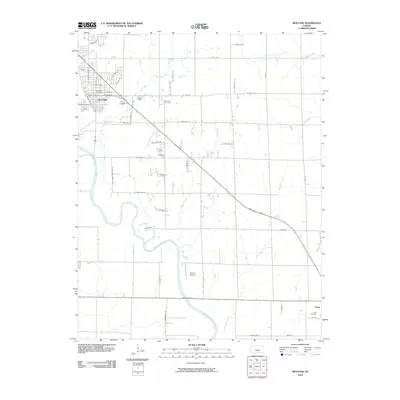
2010 Map of Mulvane
USGS Topo · Published 2010About this map
Mulvane and Udall anchor this 2010 survey of the Kansas prairie, where the Arkansas River carves a winding path through the landscape. The geography is defined by a dense grid of rural roads and the convergence of several waterways, including Dog Creek, Turner Creek, and Bitter Creek. This era of the region’s development shows a transition from traditional agricultural plots to more residential street layouts, particularly seen in the north near Lockridge.
Find a feature on this map
55 named features on this map. Tap any name to fly to it.
Don’t see what you’re looking for? This feature index may not catch every label — zoom into the map to look around manually.
Map Details
Editions of this 2010 Mulvane Map
This is the sole edition of this map. No revisions or reprints were ever made.
Other maps of this area

1889 · Wichita
USGS Topo · 1:125,000

1890 · Wellington
USGS Topo · 1:125,000

1894 · Wichita
USGS Topo · 1:125,000

1943 · Derby
USGS Topo · 1:31,680

1955 · Udall
USGS Topo · 1:24,000

1955 · Belle Plaine
USGS Topo · 1:24,000

1955 · Rose Hill
USGS Topo · 1:24,000

1955 · Mulvane
USGS Topo · 1:24,000

1955 · Douglass
USGS Topo · 1:24,000

1955 · Wichita
USGS Topo · 1:250,000