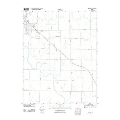
2012 Map of Mulvane
USGS Topo · Published 2012About this map
The Arkansas River winds through this landscape south of Mulvane, defining the geography of a region characterized by a dense network of tributaries and rural flight paths. Small private airfields like Rogers Airport and Belle Plaine Farms Airport are positioned near the riverbanks, reflecting the importance of light aviation in the agricultural corridor. The settlement of Mulvane sits in the northwest, its street grid transitioning into a expansive system of section-line roads and rural avenues.
Find a feature on this map
75 named features on this map. Tap any name to fly to it.
Don’t see what you’re looking for? This feature index may not catch every label — zoom into the map to look around manually.
Map Details
Editions of this 2012 Mulvane Map
This is the sole edition of this map. No revisions or reprints were ever made.
Other maps of this area

1889 · Wichita
USGS Topo · 1:125,000

1890 · Wellington
USGS Topo · 1:125,000

1894 · Wichita
USGS Topo · 1:125,000

1943 · Derby
USGS Topo · 1:31,680

1955 · Udall
USGS Topo · 1:24,000

1955 · Belle Plaine
USGS Topo · 1:24,000

1955 · Rose Hill
USGS Topo · 1:24,000

1955 · Mulvane
USGS Topo · 1:24,000

1955 · Douglass
USGS Topo · 1:24,000

1955 · Wichita
USGS Topo · 1:250,000