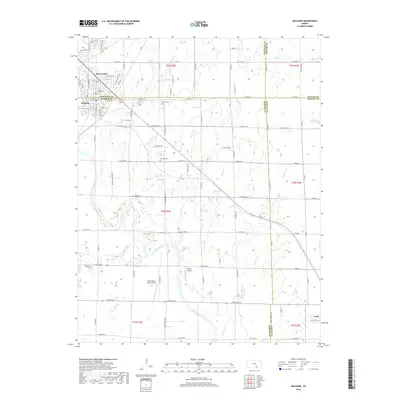
2018 Map of Mulvane
USGS Topo · Published 2018About this map
The Arkansas River meanders across this South Central Kansas landscape, defining the boundaries where four counties meet: Sedgwick, Sumner, Butler, and Cowley. The city of Mulvane sits at the northwestern edge of the map, showing a network of suburban streets such as Martha Ave and Emery St alongside established landmarks like the Mulvane Cem. To the southeast, the town of Udall anchors the corner of the sheet near the Udall Cem, reflecting the area’s early twentieth-century settlement patterns.
Find a feature on this map
67 named features on this map. Tap any name to fly to it.
Don’t see what you’re looking for? This feature index may not catch every label — zoom into the map to look around manually.
Map Details
Editions of this 2018 Mulvane Map
This is the sole edition of this map. No revisions or reprints were ever made.
Other maps of this area

1889 · Wichita
USGS Topo · 1:125,000

1890 · Wellington
USGS Topo · 1:125,000

1894 · Wichita
USGS Topo · 1:125,000

1943 · Derby
USGS Topo · 1:31,680

1955 · Udall
USGS Topo · 1:24,000

1955 · Belle Plaine
USGS Topo · 1:24,000

1955 · Rose Hill
USGS Topo · 1:24,000

1955 · Mulvane
USGS Topo · 1:24,000

1955 · Douglass
USGS Topo · 1:24,000

1955 · Wichita
USGS Topo · 1:250,000