
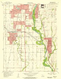
1955 Map of Mulvane
USGS Topo · Published 1956About this map
Mulvane sits at the junction of several county lines in the mid-1950s, serving as a hub for the Atchison Topeka and Santa Fe railroad. The town is bounded by the winding course of the Arkansas River to the west and south, where the landscape transitions into the agricultural townships of Palestine and Gore. The drainage pattern is complex, with Dog Creek, Bitter Creek, and Short Creek carving through the prairie toward the larger river valley.
Find a feature on this map
27 named features on this map. Tap any name to fly to it.
Don’t see what you’re looking for? This feature index may not catch every label — zoom into the map to look around manually.
Map Details
Editions of this 1955 Mulvane Map
This is the sole edition of this map. No revisions or reprints were ever made.
Other maps of this area

1889 · Wichita
USGS Topo · 1:125,000

1890 · Wellington
USGS Topo · 1:125,000

1894 · Wichita
USGS Topo · 1:125,000

1943 · Derby
USGS Topo · 1:31,680

1955 · Udall
USGS Topo · 1:24,000

1955 · Belle Plaine
USGS Topo · 1:24,000

1955 · Rose Hill
USGS Topo · 1:24,000

1955 · Douglass
USGS Topo · 1:24,000

1955 · Wichita
USGS Topo · 1:250,000
1956 · Derby
USGS Topo · 1:24,000