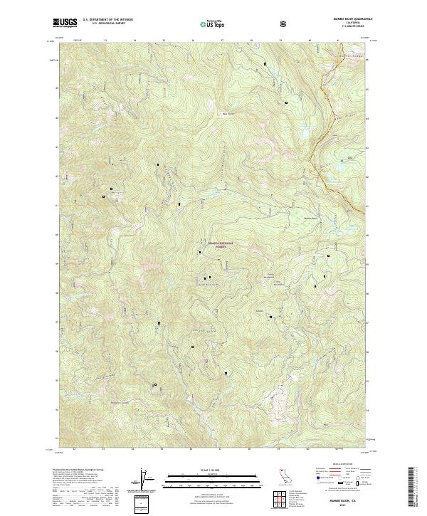
2021 Map of Mumbo Basin
USGS Topo · Published 2021About this map
The Shasta National Forest dominates this high-elevation landscape within the Trinity Mountains, where the Pacific Crest National Scenic Trail winds along the eastern ridges. This 2021 survey documents a complex system of glaciated basins and steep drainages, including the prominent Mumbo Basin and its associated waters at Mumbo Lake and Upper Mumbo Lake. The topography is defined by sharp divides and named features like The Bedstead and Ramshorn Summit, reflecting a remote mountain environment with limited human infrastructure beyond these established trails. Numerous gulches such as Little Bear Gulch and Chrome Gulch feed into larger water systems like the E Fork Trinity River, highlighting the area's role as a critical watershed. The map captures the meeting of the Trinity and Siskiyou county lines near Gumboot Lake, providing a contemporary record of this wilderness area.
Find a feature on this map
40 named features on this map. Tap any name to fly to it.
Don’t see what you’re looking for? This feature index may not catch every label — zoom into the map to look around manually.
Map Details
Editions of this 2021 Mumbo Basin Map
This is the sole edition of this map. No revisions or reprints were ever made.
Other maps of this area

1886 · Shasta
USGS Topo · 1:250,000

1894 · Shasta
USGS Topo · 1:250,000

1923 · Sawyers Bar
USGS Topo · 1:125,000

1931 · Etna
USGS Topo · 1:96,000

1934 · Etna
USGS Topo · 1:125,000

1935 · Dunsmuir
USGS Topo · 1:125,000

1948 · Weed
USGS Topo · 1:250,000

1950 · Weed
USGS Topo · 1:250,000

1954 · Weed
USGS Topo · 1:62,500

1954 · Dunsmuir
USGS Topo · 1:62,500