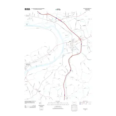
2013 Map of Muncy
USGS Topo · Published 2013About this map
Muncy sits at the heart of this Susquehanna Valley landscape, where the W Br Susquehanna River curves through the central corridor. The surrounding terrain is defined by a dense network of watercourses, including Wolf Run, Glade Run, and Warrior Run, which feed into the river from the nearby hills. To the south, the settlement of Delaware Run and the quiet valley of Miller Holw suggest the agricultural and rural character of this part of Lycoming and Northumberland Counties.
Find a feature on this map
147 named features on this map. Tap any name to fly to it.
Don’t see what you’re looking for? This feature index may not catch every label — zoom into the map to look around manually.
Map Details
Editions of this 2013 Muncy Map
This is the sole edition of this map. No revisions or reprints were ever made.
Other maps of this area

1924 · Milton
USGS Topo · 1:62,500

1927 · Eagles Mere
USGS Topo · 1:48,000

1930 · Warrensville
USGS Topo · 1:62,500

1932 · Eagle Mere
USGS Topo · 1:62,500

1934 · Warrensville
USGS Topo · 1:62,500

1935 · Hughesville
USGS Topo · 1:62,500

1953 · Hughesville
USGS Topo · 1:62,500

1953 · Warrensville
USGS Topo · 1:62,500

1953 · Eagles Mere
USGS Topo · 1:62,500

1953 · Milton
USGS Topo · 1:62,500
Featured Places
- Lewis Township, PA
- Lime Bluff, Muncy Creek Township
- Saegers, Clinton Township
- Muncy Township, PA
- Fairfield Township, PA